

Observation Date
11/20/2019
Observer Name
mark white
Region
Salt Lake » Little Cottonwood Canyon » Alta Ski Area » Gunsight
Location Name or Route
Gunsight, Alta
Comments
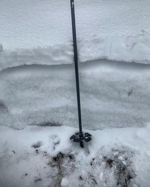
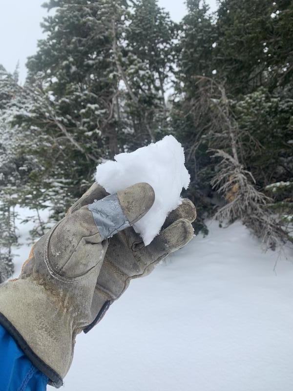
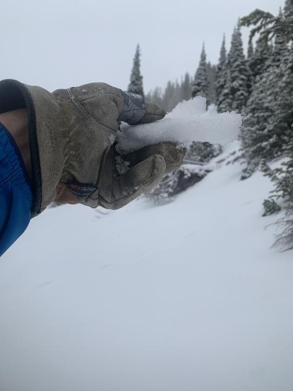
Went up to Gunsight at Alta ski area to have a look at our meager snow pack. The new snow was damp up to 9000ft on the E, NE facing, above that it was just dense. I was finding a widespread heat crust that must have formed yesterday on the E, NE facing at least up to 10,000ft, under that was well developed facets and depth hoar at the bottom of the pack. I was getting easy shears below the heat crust on the facets below the crust. This heat crust, and top layer of denser snow may tend to make avalanches larger and more connected when we receive a decent load. Collapsing and cracking will be instant data when we receive more snow.
photos: snow pit, dense new snow, heat crust
Video
Hazard depends on snow amounts and wind but any sort of a load will create more hazard
Today's Observed Danger Rating
Low
Tomorrows Estimated Danger Rating
Moderate