Observation Date
3/7/2019
Observer Name
Kevin Dressel
Region
Abajos
Location Name or Route
North Creek, Jackson Ridge
Comments
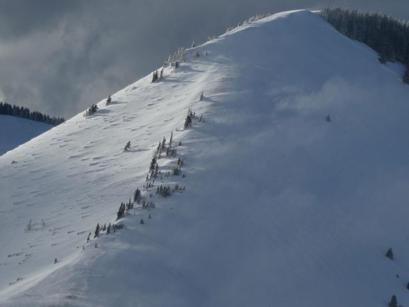
Wow! It's a different world up there from when I was here last year. About 5 more feet of snow! 8' total at just below 11000'. Overall the snowpack seems pretty solid, but I'm not sure how some of the big slopes that slid earlier have filled back in. There may be a thinner and weaker snowpack in some areas. I did also come across an old avalanche at about 8500' above the highway that doesn't get plowed during the winter on a steep N facing slope that failed on weak facets at the ground. There is about a foot of snow on top of it now and has since been rained on. This must have happened during the last big storm a couple of weeks ago

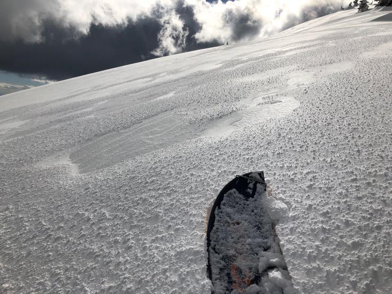
Graupel mixed in with the new snow


Today's Observed Danger Rating
Moderate
Tomorrows Estimated Danger Rating
Moderate


