

Observation Date
3/7/2019
Observer Name
mark white
Region
Salt Lake » Park City Ridgeline
Location Name or Route
PC Ridgeline
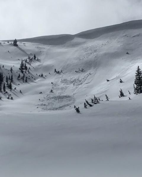
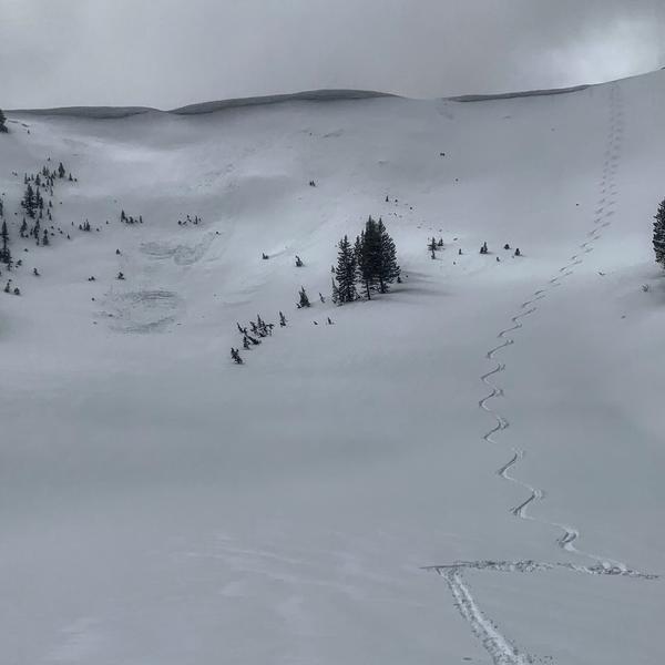
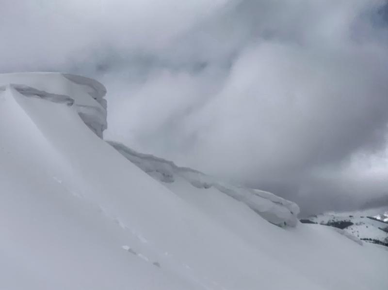
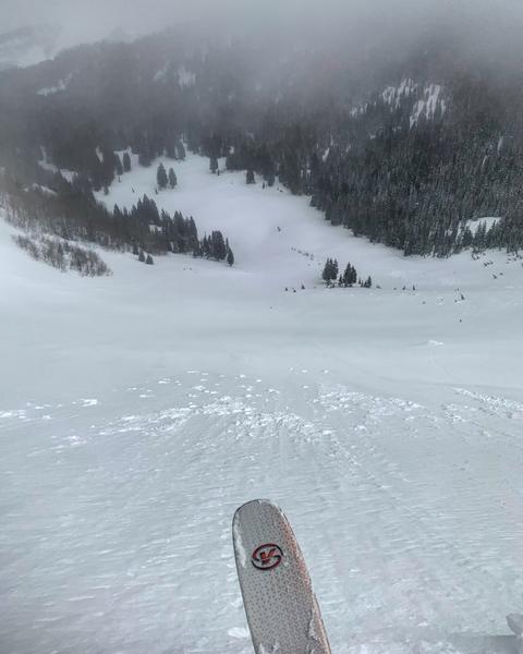
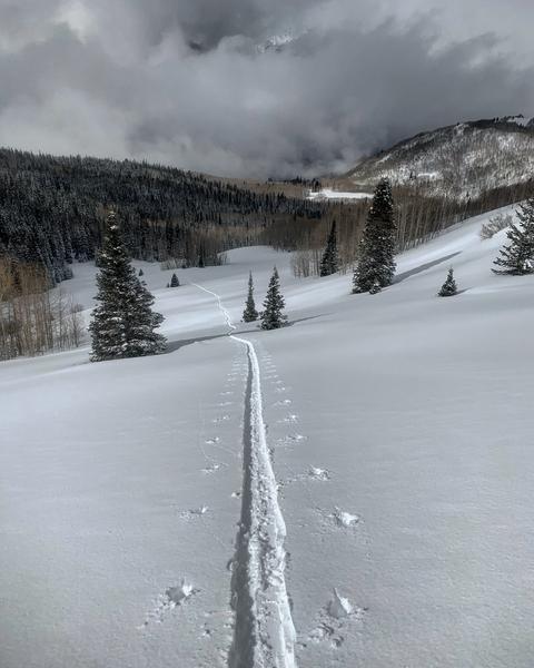
Went to the Monitors today visibility was not great but there were some sucker holes in the clouds that allowed viewing of both bowls. The only activity noted in W Monitor was wet activity in the form of roller balls on the more E facing aspects. There was a storm slab avalanche in S Monitor that I put on the avalanche list that took out the skiers right side of the bowl. I ended up skiing the left side that did not slide, and I’m going to try to explain my thinking. Recent avalanches are the number one red flag on the list but the “Devils in the Details” the avalanche appeared to have happen in the morning during high PI rates but by the time I got there the snow had already gone through a round of green housing and in my experience storm slabs stabilize rapidly, it was not snowing anymore, and there was no wind loading going on. My thinking was that the skiers right side of the bowl which has a more northerly aspect still had the light density snow from the weekend preserved as a weak layer for the storm slab. Unlike the skiers left side of the bowl which has a more easterly aspect, and the light density weak layer was destroyed by the heat before the storm slab was added. The left side of the bowl is also not as steep and does not get the wind loading that the right side does which is obvious when there’s no cornice on the left side and massive ones on the right side. Finally I did not just dive in, I slipped gently in and looked for the layer of light density under the new snow, there was none just a spongy dense base. Sorry for the long winded explanation but I get questioned allot about my decision making process on what to ski and what not to and I hope this sheds some light on my thought process.
Photos: the slide in S Monitor, the other side which I skied, cornices in W Monitor, green housing around 10:30am
Tomorrow’s hazard depends on wind and new snow amounts, I would think most of the storm slab avalanches have stabilized by now but with more wind and snow all bets might be off.
Today's Observed Danger Rating
Considerable
Tomorrows Estimated Danger Rating
Considerable