


Observation Date
2/28/2019
Observer Name
mark white
Region
Salt Lake » Big Cottonwood Canyon » Cardiff Fork
Location Name or Route
Cardiff Fork
Comments
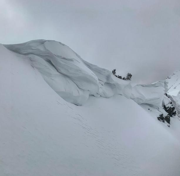
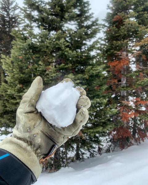
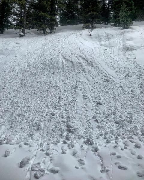
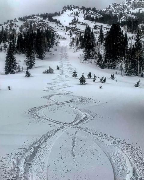
Travel today was the Alta Guard, Cardiff S facing, Keyhole entry into Cardiff Fork, LSB NE facing, then down canyon to Chutes and Ladders on the E face of Kessler. The high density new snow seemed well bonded to all surfaces, melt freeze crust on the S, windboard and sastrugi on the N,E and W and some random settled powder in wind and sun protected terrain. Not much snow to be transported by the wind but it was moving what little it could to the N facing leeward slopes. Just a little bit of cracking in the wind affected new snow on the ridge line not noted on the slopes that were skied. It looked like some of the W facing chutes off the Reed and Benson ridge line had gone through a mid sized wet cycle with roller balls and shallow debris piles in the aprons. Many slopes are quite variable due to changes in elevation, skied a E facing line off of Kessler the upper snow field was wind board with hardly any ski penetration but the lower half was soft, damp and on the verge of manky at the bottom, and that’s all in a 1000 vertical foot line. I would think any additional snow would bond well to the dense and in some places damp underlying snow. Cornices are drooping with the warm temperatures and should be given a wide birth.
photos: drooping cornices, high density surface snow easily made into a snowball, wet activity down below 8700ft , and a 1000ft E facing run changing from firm windboard to damp and manky half way down.
If we don’t get a good dose of snow or a bunch of wind I’m gonna have to go with low.
Today's Observed Danger Rating
Low
Tomorrows Estimated Danger Rating
Low