


Observation Date
2/12/2019
Observer Name
mark white
Region
Salt Lake » Big Cottonwood Canyon » Cardiff Fork
Location Name or Route
Cardiff Fork
Comments
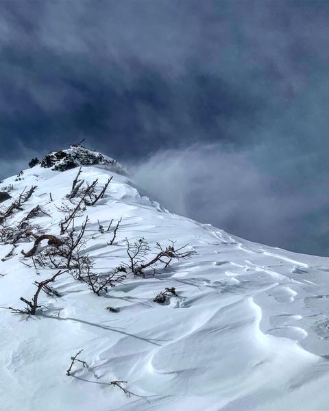
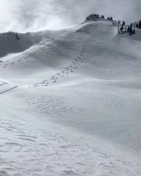
Travel today was up to Cardiff Pass via the Alta Guard, LSB NE facing, Hansens with a exit out Ivory Flakes into BCC. The wind was blowing snow on the Superior ridge line moving some snow on our first run on LSB, by the time we did our second run the wind speeds had increased quite a bit filling in our tracks and creating a wind skin on the NE face of LSB, walked across some stiff and not so stiff wind slabs but no cracking or instabilities noted. Headed to Hansen’s trying to get out of the wind and realized it had avalanched big during the storm snapping a few large trees in the process. Continued down canyon still trying to get out of the increasing wind from the S, by the time we got to Ivory Flakes we were basically out of the wind and the snow was fluffy and non winded. Not a whole lot of activity noted, a couple minor sluffs and wind loading were the main events today and many steep lines were hit. In the non winded terrain tomorrow’s forecasted dense snow with wind will land on light density and may not bond well, the same goes for winded terrain that might hold a larger load on the wind skin or wind slab before collapsing.
Photos: wind loading on the Superior ridge line, and our tracks on LSB filling in fast with wind blown snow
Moderate today but might rise to considerable tomorrow if the forecast is accurate
Today's Observed Danger Rating
Moderate
Tomorrows Estimated Danger Rating
Considerable