Observation Date
2/11/2019
Observer Name
Michael Janulaitis
Region
Uintas
Location Name or Route
Western Uintas
Comments
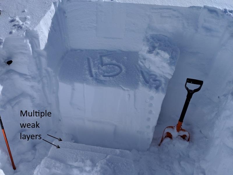
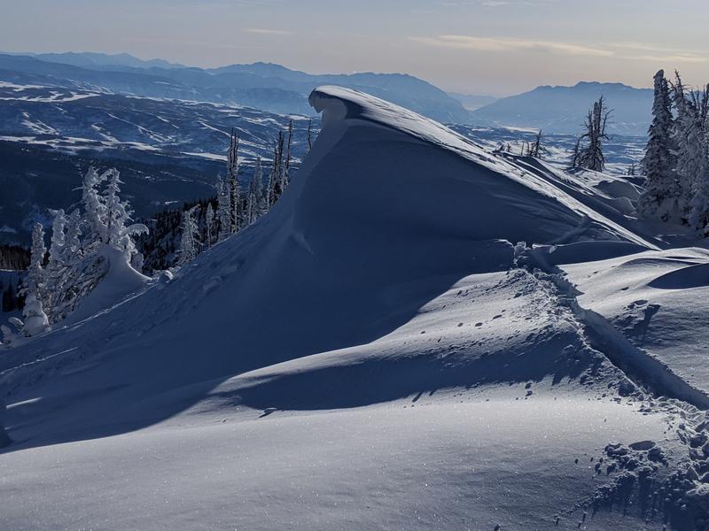
I got up high today, toured around and dug. My stability test proved the weakest layer within the top meter of snow is the new snow old snow interface. Although the test failed to collapse and propagate across the entire column with one tap you can see how clean most of the interface layer is in my ECT test pic. There was a lot of really good looking terrain but with our now 4 month old October snow still causing problems and proven weak layers within the January and February snow pack I stayed clear of any steep terrain on the north half of the compass. I made a few turns on some small steeper WSW facing terrain and was happy to experience no sluffing or collapsing. Steep SE aspects had natural cornice falls from the previous day and looked like they would have skied really well while also being relatively safe.


Today's Observed Danger Rating
Considerable
Tomorrows Estimated Danger Rating
Considerable


