Join us at our 2nd Annual Blizzard Ball

Observation: Electric Lake

Observation Date
2/9/2019
Observer Name
Lara Kendall
Region
Skyline » Huntington Canyon » Electric Lake
Location Name or Route
Electric Lake
Weather
Sky
Scattered
Wind Direction
Southeast
Wind Speed
Light
Weather Comments
I headed out for a few laps in the electric lake area this morning before the clouds moved in and the light went flat at 12:30. Wind was light mixed with a few stronger gusts from the SE mid morning.
Snow Characteristics
Snow Surface Conditions
Powder
Wind Crust
Snow Characteristics Comments
The new snow from earlier this week has consolidated to about 19”. Lots of varied (skiable) wind crusts on the surface especially at mid elevations- 8800-9000ft.
Red Flags
Red Flags
Wind Loading
Poor Snowpack Structure
Red Flags Comments
Considering we received about 2ft of new snow earlier in the week and recent windy conditions I was anticipating collapsing and cracking today. However, I didn’t experience any obvious signs of instability where I skied. That being said, I didn’t ski anything steeper than about 32 degrees and did not pass under any steep slopes.
Comments
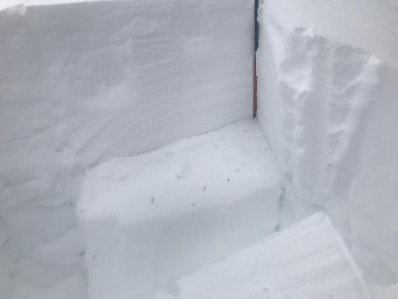
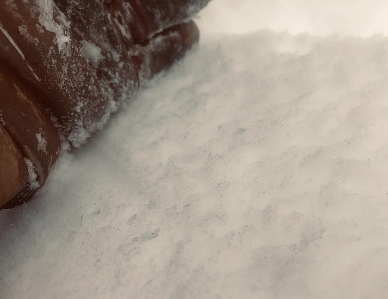
I dug a pit at 9300ft north facing. When I skied here last week- before the storm- the surface snow had turned to facets and included surface hoar on sheltered slopes. Today’s total snow depth 150cm (in this location). The distinct line in the photo is the old/new snow interface of near surface facets (NSF) and surface hoar at 100cm.
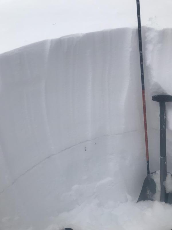
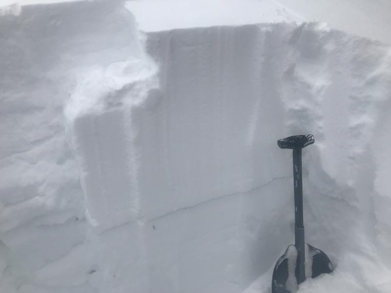
ECT12 Q2. Failing at old snow/new snow interface of buried NSF and surface hoar. Note: I did not dig deep enough to check the reactivity of the persistent mid December weak layer. It is still present at 60cm and easily penetrated when I stepped out of my skis and into the pit.
Today's Observed Danger Rating
Considerable
Tomorrows Estimated Danger Rating
Considerable
Coordinates