Observation Date
1/20/2019
Observer Name
Charlie Ramser
Region
Moab
Location Name or Route
N side of Horse Creek
Comments
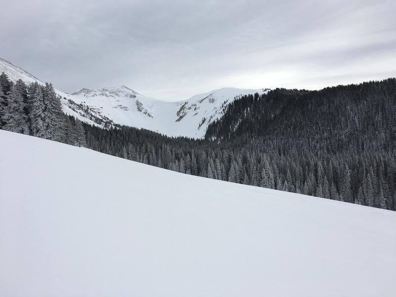
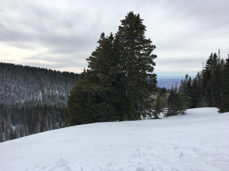
The wind was starting to blow and skies got overcast while I was skiing this afternoon and evening. The top portion of the snowpack seemed quite settled and stable compared to what it's been like. I only caused two collapses, one in a gully due to a huge down log, and another one low in the drainage in a flat, cold meadow. Got me thinking about spatial variability and all the pockets that exist out on the ski slopes we are all eyeing.
In my S facing snowpit I mostly found consolidated or well bonded snow. There was a thin graupel layer beneath the most recent storm snow, and of course, the faceted snow above the October crust. Facets were fairly well developed, 2.5mm and some starting to have cupped shape. With current temperature profile, facets are still forming.
ECTX on one attempt before I ran away from the wind.
Wind had pretty frequent cycles, light half the time, and strong east winds the other half. If anyone is out there in the heinous wind tomorrow, good luck.


Today's Observed Danger Rating
Considerable
Tomorrows Estimated Danger Rating
High
Coordinates


