Join us at our 2nd Annual Blizzard Ball

Forecast for the Skyline Area Mountains

Brett Kobernik
Issued by Brett Kobernik on
Thursday morning, January 17, 2019
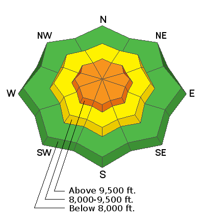
The avalanche danger will increase to CONSIDERABLE as the day goes on because of new snow and wind. Higher elevations will be the most dangerous today.
THE AVALANCHE DANGER WILL INCREASE THROUGH THE END OF THE WEEK AND REMAIN DANGEROUS INTO THE WEEKEND.
Low
Moderate
Considerable
High
Extreme
Learn how to read the forecast here
Avalanche Warning
THE FOREST SERVICE UTAH AVALANCHE CENTER IN SALT LAKE CITY HAS ISSUED A BACKCOUNTRY AVALANCHE WARNING.
* TIMING...THURSDAY MORNING THROUGH THE MLK HOLIDAY WEEKEND.
* AFFECTED AREA...THE MOUNTAINS OF NORTHERN AND CENTRAL UTAH, TO INCLUDE THE BEAR RIVER RANGE, THE WASATCH RANGE, THE WESTERN UINTAS, AND THE MOUNTAINS OF THE MANTI-SKYLINE PLATEAU.
* AVALANCHE DANGER...THE BACKCOUNTRY AVALANCHE DANGER WILL REACH HIGH ON MANY ASPECTS AND ELEVATIONS WITH BOTH NATURAL AND HUMAN TRIGGERED AVALANCHES LIKELY.
* REASON/IMPACTS...HEAVY SNOW AND STRONG WINDS WILL CREATE DANGEROUS AVALANCHE CONDITIONS.
AVOID BEING ON OR BENEATH STEEP SLOPES.
Weather and Snow
Yesterday's storm was almost a bust producing less snow than I anticipated. We ended up with 2 to 4". The storm moving in today and into Friday should do better hopefully bringing about a foot of snow or possibly more. It's going to be a windy one which is one reason the avalanche danger will increase.
Ad
Additional Information
This forecast is from the U.S. Forest Service, which is solely responsible for its content. This forecast describes general avalanche conditions and local variations always occur.