Observation: Alta Periphery

Observation Date
12/26/2018
Observer Name
Jost
Region
Salt Lake » Little Cottonwood Canyon » Alta Periphery
Location Name or Route
Alta Periphery
Red Flags
Red Flags
Recent Avalanches
Wind Loading
Cracking
Avalanche Problem #1
Problem
Wind Drifted Snow
Trend
Increasing Danger
Problem #1 Comments
Photo 1: Managed to trigger a wind slab along the north end of Point Supreme ridge line this morning. Ski cutting a SE facing slope at 10400'produced a SS-ASc-D0.5-R1 slab ~40 feet wide and 6-8 inches thick. The debris ran less than 100 feet down the slope and did not entrain any additional snow.
boot/ski penetration depths observed at the bottom of runs in the morning was 35/20 cm.
Noted thick rime deposits on trees along the Dry Fork/LLC ridgeline primarily on the eastern and southern sides of the trees, indicating that previous wind directions from the S and E. By the end of the day the rime crusts were being covered by fluffy stellars and plates that were accumulating throughout the day.
Photo 2: Also observed wind ripples and ridges with an upslope direction of formation between 10400' and 10200' in Dry Fork, south and east of Point Supreme (towards the gargoyles). These wind features appear to have formed on Christmas Day as they were covered by a layer of stellars and plates. While skiing through these features it was easy to feel the increase in snow hardness.
With plenty of new snow available to transport and increasing winds speed in the days ahead the presence of wind slabs should remain on the problems radar. Also note that wind direction will be different in the upcoming days than it was relative to the previous couple days. So the not only may wind slabs be present going forward, the spatial distribution around the compass may be changing.
Avalanche Problem #2
Problem
New Snow
Trend
Decreasing Danger
Problem #2 Comments
Photo 3: Ski cutting a more wind protected NE facing slope at 10400' in Rocky Point resulted in a SS-ASc-D1-R1 that entrained new snow only. Also managed to hit some rocks during the ski cut. Rocky Point currently living up to its' name.
Similar results were noted while watching other skier descents in the basin.
The sun made an appearance during the afternoon and ripened the near surface snow on southerly slopes enough that snowballs could be formed. As the sun went down the snow began to refreeze but not enough to form a crust. The effect of heating was only apparent 1-2 cm below the snow surface.
It will be interesting to see what the skiing is like tomorrow given this subtle development in the new snow.
Photo 4: SS-N-D1-R1 in Dry Fork on east facing slopes at 10400'
Comments
Overall a great day of skiing in Little Cottonwood. I almost forgot about the hordes of holiday skiers terrorizing the ski area employees.
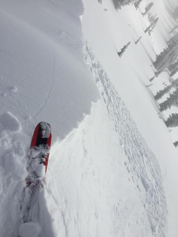
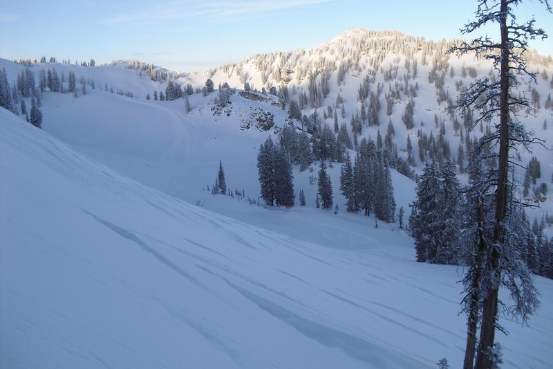
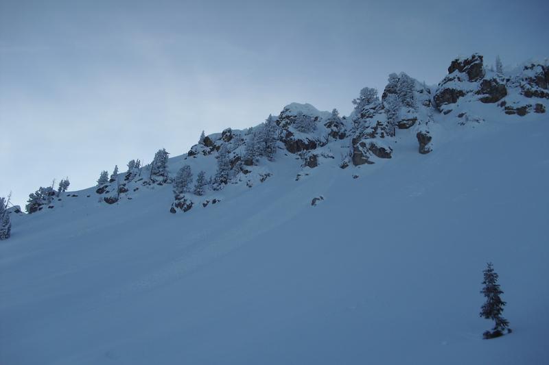
After making turns in Dry Fork, Rocky Point, East Patsy, and off the Emma Ridge line; the biggest surprise from today was the excellent snow conditions found while descending East Patsy from Wolverine summit. Typically the upper half of this descent is wind scoured, this morning the snow was blower and non-wind affected. Contrast this with wind scour and cross loading on the upper elevation east facing slopes in Dry Fork, south of Point Supreme, in my short career of skiing in LLC this zone is on the leeward side of Little Cottonwood and is reliably loaded by wind blowing up LLC.
After noting these snow conditions today I am reminded that unusual conditions produce unusual results and I plan to keep these observations with me going forward.
Today's Observed Danger Rating
Moderate
Tomorrows Estimated Danger Rating
Moderate