

Observation Date
12/21/2018
Observer Name
Greg Gagne
Region
Salt Lake » Little Cottonwood Canyon
Location Name or Route
Upper LCC Perimeter
Comments
Observations noted in my field book today:
- Sluffing in the new snow on steep (> 35 degrees) slopes, running within storm snow or at the interface with Wednesday's graupel.
- A few minor, shallow wind pockets along mid and upper elevation ridgelines.
- Quick tests today (i.e. shovel tilt) and field observations from Thursday 12/20 showing no PWL's preserved in upper elevation starting zones. There may be some pockets in sheltered, north-facing mid-elevation aspects where surface hoar (SH) or near-surface facets (NF) may have been preserved.
- Looked at Twin Lakes Pass ridgeline which had slid on Thanksgiving (Nov 22) and then again on Saturday Nov 24, This is in a rocky area and the snowpack is current 60-90 cms, with some mid-pack facets. This makes me think repeater slopes with a thinner snowpack may be more susceptible to deeper avalanches if we get enough snow and wind over the next several days.
- Definitely was Low today, with at most minor sluffing in the snow surface. Going forward, forecasted 3-7" overnight may create larger sluffs in the new snow, but if winds remain at the levels they were on Friday, few wind effects should be expected.
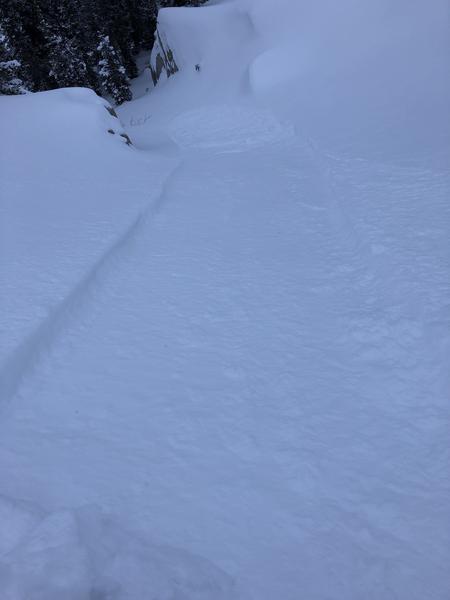
Photo showing loose snow sluff in the new snow right at the surface.
Today's Observed Danger Rating
Low
Tomorrows Estimated Danger Rating
Low