


Observation Date
11/25/2018
Observer Name
Evelyn
Region
Salt Lake » Little Cottonwood Canyon » Grizzly Gulch
Location Name or Route
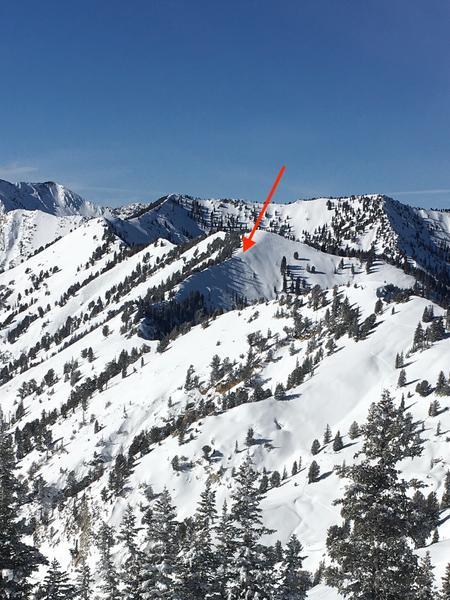
Grizzly Gulch, Twin Lakes Pass - Patsy ridge and Honeycomb ridge
Comments
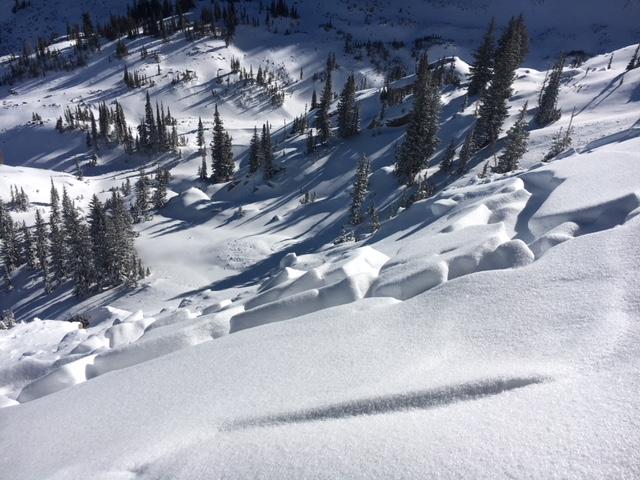
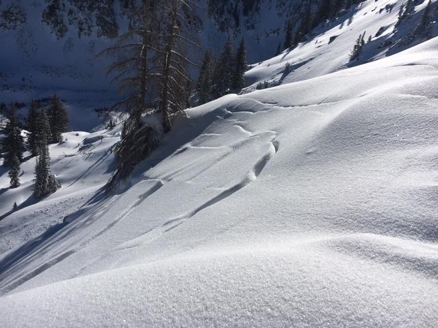
Looked at the slides along the ridge between Twin Lakes pass and Patsy Marley. These were remotely triggered by a touring party yesterday, during the storm. They reported the slides came out in pieces and "did not run smoothly". Lots of hang fire left along the ridge line.
The one place I got into the crown - bad news. This slope had two substantial crusts, with super weak facets above, between and below the crusts. The slides ran above the upper crust, leaving behind two weak layers of facets and both crusts on the slope. So the problem layers are still there and once loaded, will avalanche again.
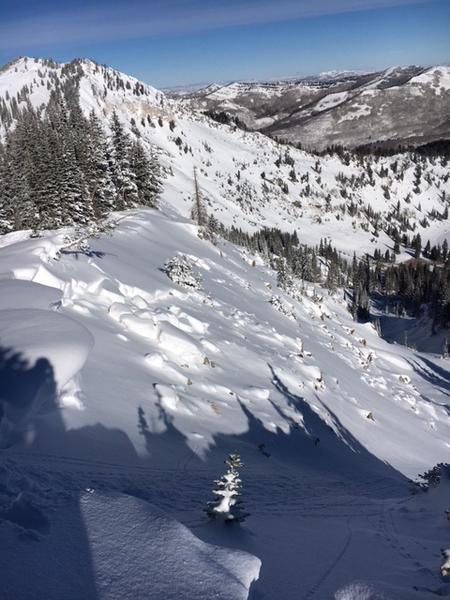
Below - another slide noted from a distance, Silver Fork headwall.
It's black and white.
On sunny, south and southwesterly facing slopes, the Thanksgiving weekend storm fell on bare ground, and is mostly stable. Wind drifts seemed to have settled out and were non-reactive. Go to terrain.
On shady slopes, the new 1 to 2 feet of snow is sitting on layers of weak crusts and facets. These are persistent weak layers - people will be able to trigger dangerous slides on these layers for days to come. Avoid any steep slope where there was old snow before this last storm - northwest through east facing, mid and upper elevations and upper elevation west and southeasterly facing slopes.
Today's Observed Danger Rating
Considerable
Tomorrows Estimated Danger Rating
Considerable