Welcome back.... we missed you! But in your absence we've revamped our website. It might take a minte or two to get used to and I bet you'll find it very intuitive and user friendly.
Huge thanks to everyone who came out on Thursday to support the annual Boondockers premeire.
I wanna give a big shout out to Mike Poulsen and Tri-City Performance in partnership with Polaris who have supported the UAC for over a decade. Mike and his team generously donated two new "loaner" sleds for us to use this winter. This vital partnership allows forecasters see more terrain, issue more accurate forecasts, and ultimately save more lives.
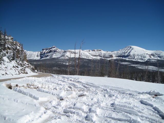
Early October storms stacked up close to two feet of snow that settled to about half that depth in the past few weeks. These are the building blocks to our upcoming winter and we'll have to keep an eye on the weather to determine the furture course of strength and stability. Remember- it's super thin right now and chances of slamming into a season ending rock or stump vastly outweight the possibility of triggering an avalanche. However, if there's enough snow to ride, then there's enough snow to slide.


