Observation: Alta Ski Area

Observation Date
10/11/2018
Observer Name
Hardesty
Region
Salt Lake » Little Cottonwood Canyon » Alta Ski Area
Location Name or Route
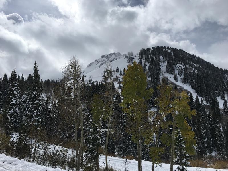
Albion Basin
Weather
Sky
Broken
Precipitation
Light Snowfall
Wind Speed
Calm
Weather Comments
Intermittent clouds with a few "sunbreaks" (as they describe them in the PacNW). A trace or two of snow at midday. Calm winds. Temps in the low to mid-20s.
Snow Characteristics
Snow Characteristics Comments
Snow immediately dampened by sun, high RH and warm ambient temps. Still somewhat upside down, but improved from yesterday. Ski and boot pen at 22 and 42 cm (mid-to upper elevation northeasterly). Roughly 35-45cm of settled snow on the ground in representative terrain you'd want to ride. Can start skinning from the parking lots. Wide boards recommended along with skin wax best applied the night before.
Red Flags
Red Flags Comments
No red flags today, per se, but rumors of storm snow avalanche activity in the mid-Cirque of the unopened Snowbird terrain from yesterday. (Snowbird is closed to uphill traffic.)
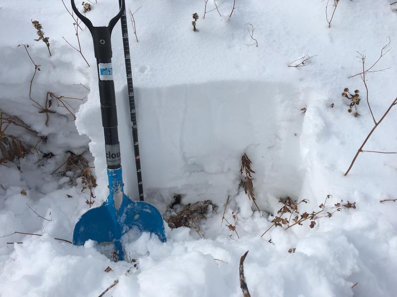
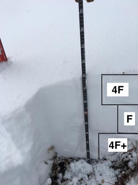
"Academic-only" instabilities noted with tests eliciting clean shears in upper 25cm of new snow that will undoubtedly heal and rapidly settle out. CTM17Q2 down 14 and 22 cm. ECTX. Quick profiles on northeasterly terrain at 8800' and 9600'. Basal snow at low/mid elevations already moving toward wet grains. Early risers will likely find a breakable melt-freeze crust capping the October storms.
Wonderful to be out on skis with enough snow to ride....golden aspens....cat and mouse with the sun and shade.
Today's Observed Danger Rating
None
Tomorrows Estimated Danger Rating
None