The UAC Marketplace is still open. Our online marketplace still has deals on skis, packs, airbag packs, beacons, snowshoes, soft goods and much more.
Yesterday morning 1-2 inches of additional snow fell. The sun appeared in the afternoon and skies cleared overnight. Temperatures warmed a few degrees this morning with increased south winds and are in the low 30's F. Winds are averaging 15-20 mph from the SSE at ridgetops and gusting 30-40 mph.
Storm totals (Thursday through Friday morning) are about 1.66 inches of water. At low elevations, this precipitation was all rain. At upper elevations it was 10 inches of snow.
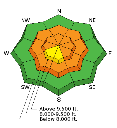
The snowpack yesterday was warm, weak and wet up to about 9500 feet. If you stepped out of your skis or board, you'd quickly sink to your waist. Clear skies and below freezing temperatures last night have likely only refrozen the snow surface.
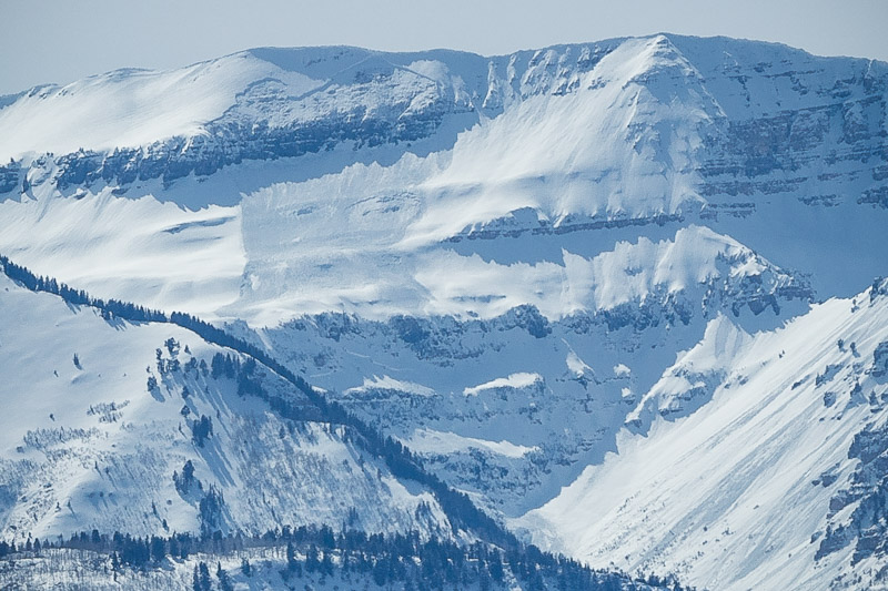
A large avalanches was intentionally triggered yesterday morning by UDOT in Provo Canyon in the Slide Canyon drainage. It started at 10,400 feet as a dry slab avalanche and ran nearly 4000 feet vertical becomimg wet as it descended.
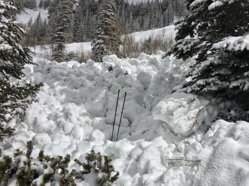
Yesterday morning in the Cottonwood Canyons at least 7 wet slab avalanches were triggered by ski patrols. Many of these were at least 2 feet deep and occurred generally between 8500 feet and 9500 feet. These are no joke. The debris is like a slurry of wet concrete. These slides were mostly triggered with small hand charges. I looked a a few of them yesterday, and there's no doubt that a skier or rider could have easily triggered them as well.
Also, 2 natural deep slab avalanches involving dry snow were spotted yesterday in Day's Fork. One definitely occurred in a path that slid previously and created debris 10-15 feet deep. The other likely occurred in a repeater path as well but I'm unsure.
Photo below of leg breaking wet slab debris in Little Cottonwood Canyon.