Forecast for the Moab Area Mountains

Friday, March 23, 2018
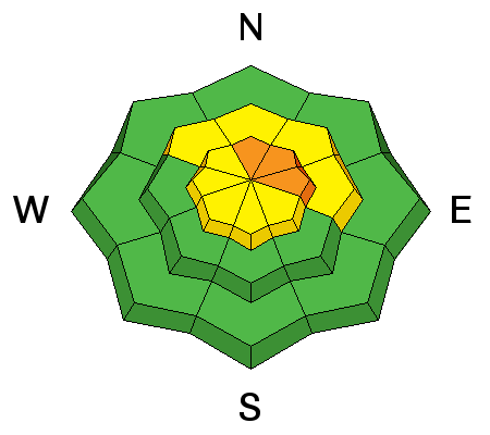
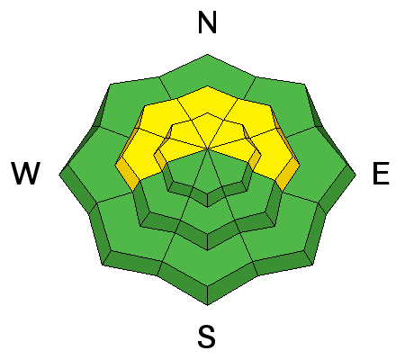
The avalanche danger remains mostly MODERATE today but with accumulating snow and wind we could see areas of CONSIDERABLE danger developing in upper elevation, wind exposed terrain. Be alert to changing conditions and be on the lookout for recent shallow deposits of wind drifted snow.
-Right around tree line and above it is still possible to trigger an old hard wind slab or deeper persistent slab avalanche up to 4' deep on slopes that face NW-N-E. Avoid steep wind drifted slopes, blind convexities, and areas of rocky or more radical terrain. Steep wooded areas are also suspect.
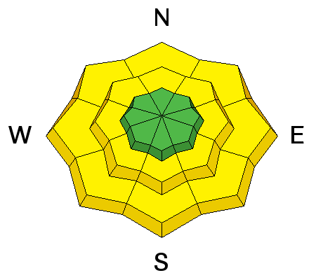
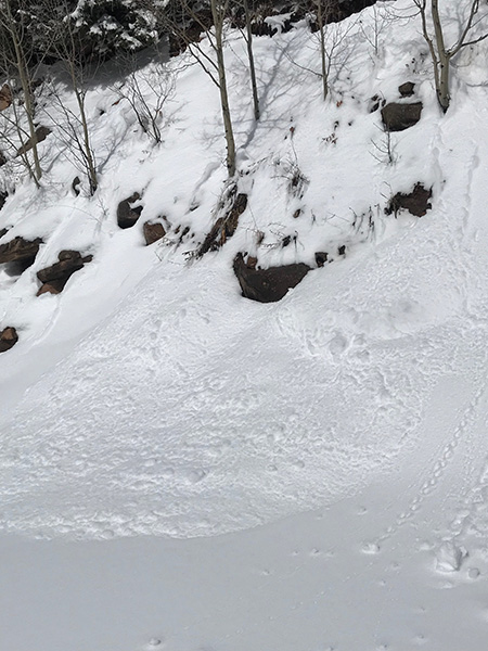
-With warm temperatures, the lack of a solid overnight refreeze, and rain on snow below 10,000' there is also the danger for loose wet avalanches. Signs of instability include roller balls, pinwheels, and punchy or sloppy wet snow. Get off of, and stay out from under steep slopes when these signs are present.