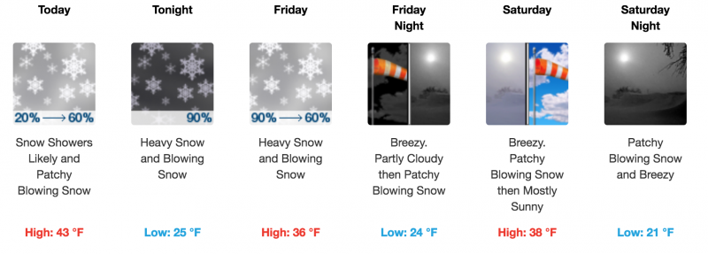
Forecast for the Abajo Area Mountains

Thursday, March 22, 2018
The avalanche danger is generally LOW but low danger doesn't mean no danger and here are a few points to keep in mind.
-Ride slopes one at a time and stay out from underneath run out zones when someone else is on the slope.
-Suspect steep, wind drifted slopes that have a smooth rounded appearance or that have a hollow sound or feel to them
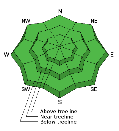
-Suspect areas of steep, rocky, or radical terrain right around treeline and above that faces NW-N-E where it still may be possible to trigger an avalanche 2-3' deep on weak, sugary, faceted snow near the ground.
--With warm temperatures, the lack of a solid overnight refreeze, and the threat of rain on snow, there is also the danger for loose wet avalanches. Signs of instability include roller balls, pinwheels, and sloppy wet snow. Get off of and out from under steep slopes when these signs are present.
Expect a rising avalanche danger over the next 24 hours.