Forecast for the Uintas Area Mountains

Thursday, March 22, 2018
HEADS UP-
THIS IS AN UNUSUALLY WARM, WET STORM AND WE'RE NAVIGATING SOME UNCHARTED WATERS. BUT WHAT I DO KNOW IS THIS... THE AVALANCHE DANGER WILL BE RISING THROUGHOUT THE DAY.
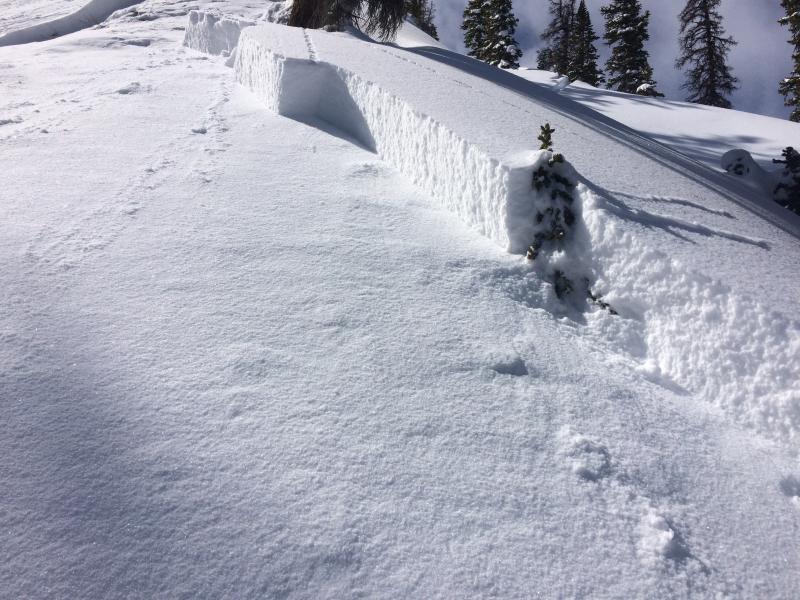
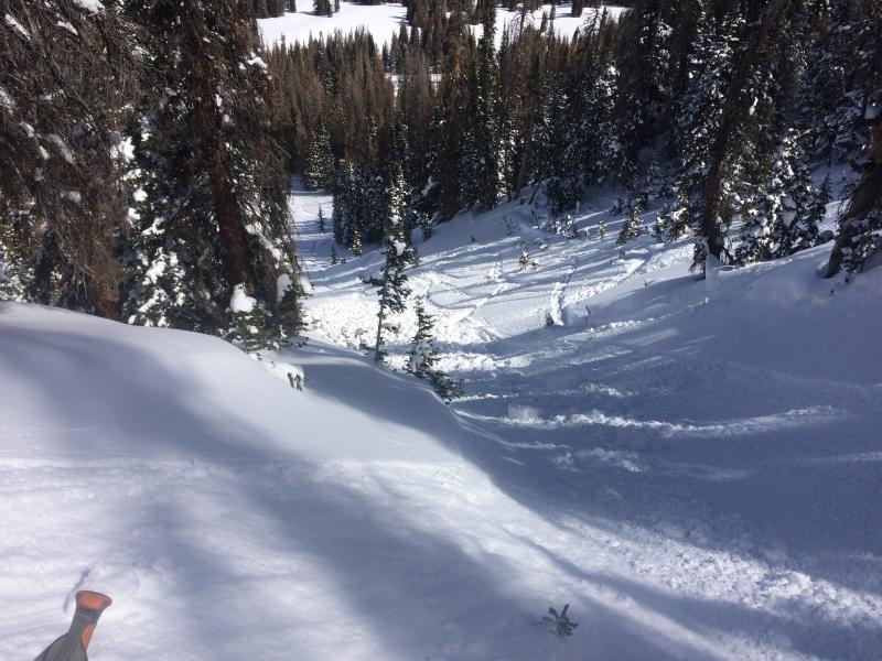
For this morning- a MODERATE avalanche danger exists in upper elevation terrain, particularly in the wind zone, above treeline. Human triggered dry snow avalanches are POSSIBLE on all steep wind drifted slopes, especially those facing the north half of the compass, and particularly those with an easterly component to their aspect.
At mid and lower elevations, the danger for wet avalanches is MODERATE and human triggered slides and wet sluffs are POSSIBLE on slopes steeper than about 35 degrees.
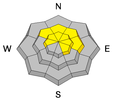
As the day progresses and the storm takes shape- the avalanche danger rises to CONSIDERABLE on all aspects at all elevations. Human triggered avalanches become likely, natural avalanche possible.