Forecast for the Abajo Area Mountains

Issued by Eric Trenbeath for
Tuesday, February 27, 2018
Tuesday, February 27, 2018
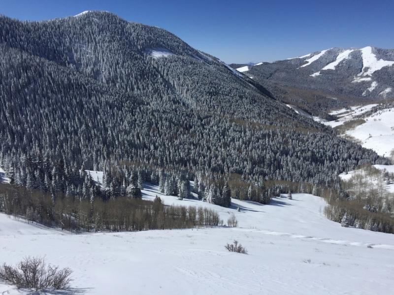
The avalanche danger is MODERATE today but keep in mind that most accidents occur when the danger is trending down from considerable. Weak, sugary, faceted snow still exists at the base of the snowpack, and the potential for triggering an avalanche up to 3' deep remains. The danger is greatest on steep terrain, right around treeline and above that faces NW-N-E, particularly in areas that are overlain with wind drifted snow. Be alert to fresh wind loading today and avoid slopes with recent deposits of wind drifted snow. Most low elevation and south facing terrain offers LOW danger.
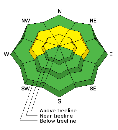
Low
Moderate
Considerable
High
Extreme
Learn how to read the forecast here