Observation Date
2/24/2018
Observer Name
Ted Scroggin
Region
Uintas » Bear River Ranger District » Whitney Basin » Double Hill
Location Name or Route
Whitney Basin-Double Hill
Weather
Sky
Obscured
Wind Direction
Northwest
Wind Speed
Light
Weather Comments
Another cold day on the North Slope with single digits this morning and throw a little northwest wind in and it makes for a chilly day. Mostly cloudy with some brief periods of filtered sun.
Snow Characteristics
New Snow Depth
1"
New Snow Density
Low
Snow Surface Conditions
Powder
Snow Characteristics Comments
Lots of great powder and soft settled dense snow. The winds however did stiffen up some of the snow in open exposed areas.
Red Flags
Red Flags
Wind Loading
Poor Snowpack Structure
Red Flags Comments
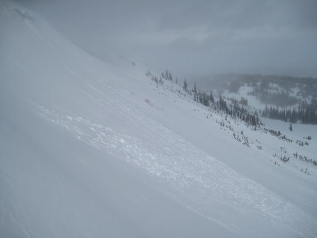
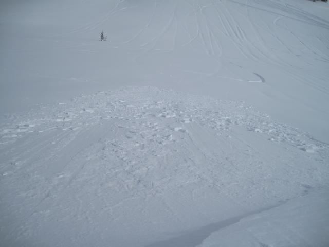
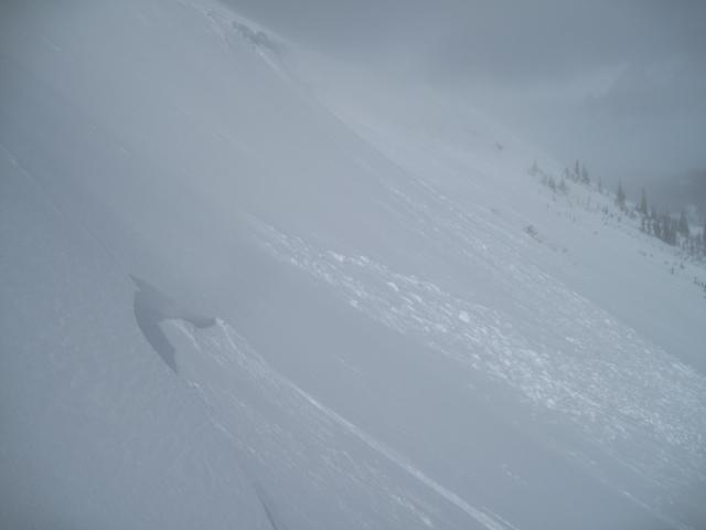
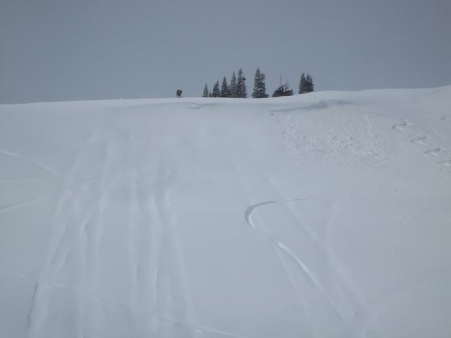
Some minor shallow soft wind slabs today just off the ridge lines. These were both natural and rider triggered slides and manageable in size, breaking just ahead of skis and sleds.
Avalanche Problem #1
Problem
Wind Drifted Snow
Trend
Increasing Danger
Problem #1 Comments
Fresh shallow soft wind slabs were easily triggered today just off the ridge lines. These were small in size and quickly broke up as they moved downhill. Manageable in size early in the day, but with increasing winds and plenty of low density snow to blow around, these should become wider and deeper.
Avalanche Problem #2
Problem
Persistent Weak Layer
Trend
Same
Problem #2 Comments
I have not observed any slides that have stepped down into older weak sugary faceted snow. My travels have been mainly in areas with a deeper snow pack. It sounds like slides can still be triggered into older snow where the snow pack is shallow.
Comments
A few photos of shallow soft wind slabs that are easily triggered just off the ridge lines. These were very manageable early today, but will likely become a bit more of an issue with increasing winds and more snow this evening.
Today's Observed Danger Rating
Moderate
Tomorrows Estimated Danger Rating
Moderate