

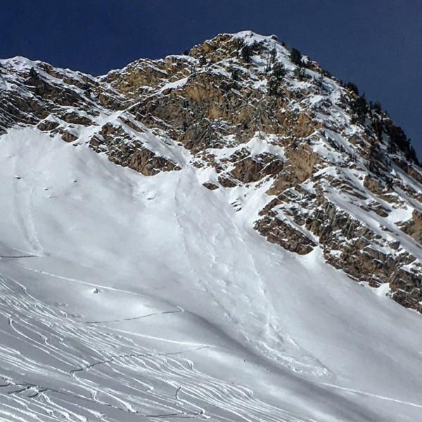
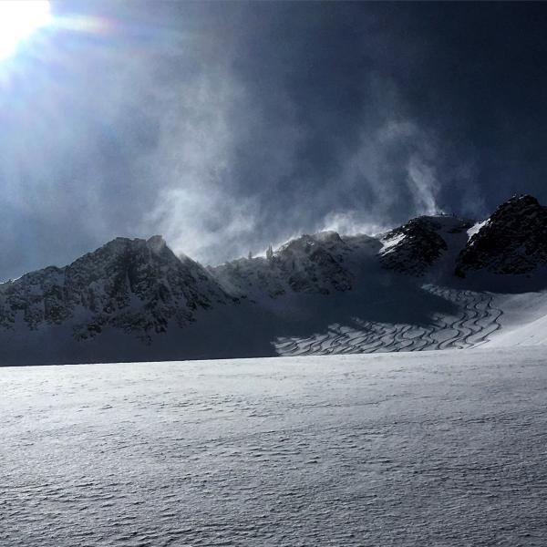
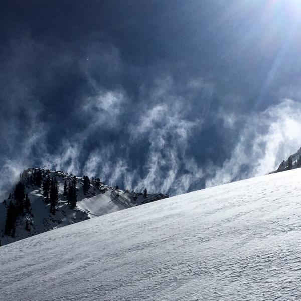
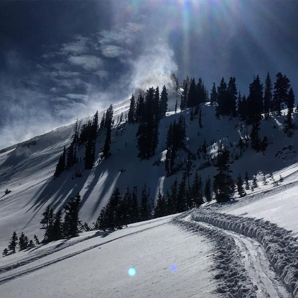
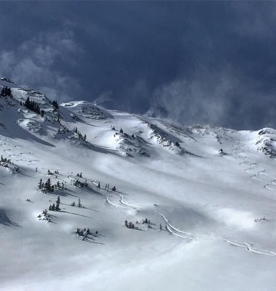
Pleasantly surprised by the quality of skiing today, all the old tracks in upper Cardiac were filled in and the bottom was smooth and soft. Started the day off skiing LSB N facing it skied well in the morning but by afternoon all the tracks were blown in from the increasing south winds blowing across the face. Did note one large natural sluff on SE facing Cardiac Ridge, looked to happen towards the end of the storm and ran quite a ways on the melt-freeze crust underlying it. That pretty much sums up the activity in Cardiac, multiple steep lines were skied with only a little sluffing taking place. I did not note any wet activity but the snow on the S facing was damp by noon. New snow amounts dropped dramatically with loss of elevation, down at the bottom of Ivory Flakes down by the mine there was maybe 4 inches of new. It seems that we will need a much bigger load to get things moving in the Upper Cardiac area, it has the deepest and seemingly the most stable snow pack I've seen in the Central Wasatch. The biggest red flag today was the wind transported snow blowing large amounts of light density powder off the S facing and depositing it on the northerly aspects, in some cases it was loading the N facing slopes way down off the ridge lines. Might be something to think about if your out skiing tomorrow in wind loaded terrain.
Photos: Natural sluff on SE facing Cardiac Ridge, wind transport on the ridge lines that got down into the drainages mid day.
Thinking the hazard was Low today but going for Moderate tomorrow for wind slab potential