https://utahavalanchecenter.org/observations/36601Episode 3 of the UAC podcast is live. We talk with UDOT Avalanche Program Supervisor Bill Nalli on how he and his teams keep the Greatest Snow on Earth from avalanching over the open roads and highways of the state. Check it out on ITunes, Stitcher, the UAC blog, or wherever you get your podcasts.
The UAC Marketplace is online. The holiday auction is closed, but our online marketplace still has deals on skis, packs, airbag packs, beacons, snowshoes, soft goods and much more.
The mountains picked up 4"-6" from yesterday's fast moving storm bringing totals for the week up to around a foot. Little by little it's adding up but coverage still remains quite thin. Snow depths range from about 18"- 36" but some sun exposed slopes had been burned off to the ground prior to this last snowfall.
Skies are clear this morning and it's cold up there with temperatures in the single digits. Ridge top WNW winds blew moderate to strong yesterday afternoon and evening, but have backed off this morning to around 10 mph with gusting to 20.
Base depth at Geyser Pass Trailhead: 20"
Base depth in Gold Basin: 27"
New snow totals in Gold Basin.
Snow totals at the Geyser Pass Trailhead, (9600')
Wind, temperature, and humidity on Pre Laurel Peak (11,700')
Road conditions to Geyser Pass Trailhead: Expect to find a few inches of new snow on the road this morning. 4wd and good tires are required.
Grooming conditions: Trails are covered in fresh snow and effort is being mounted to get up and groom maybe this aftenoon.

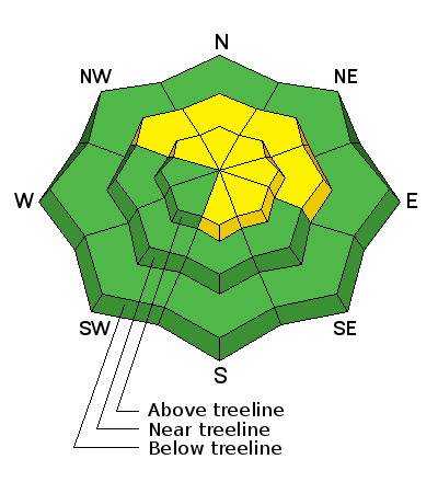
Skiing and riding in the woods is still a risky proposition.
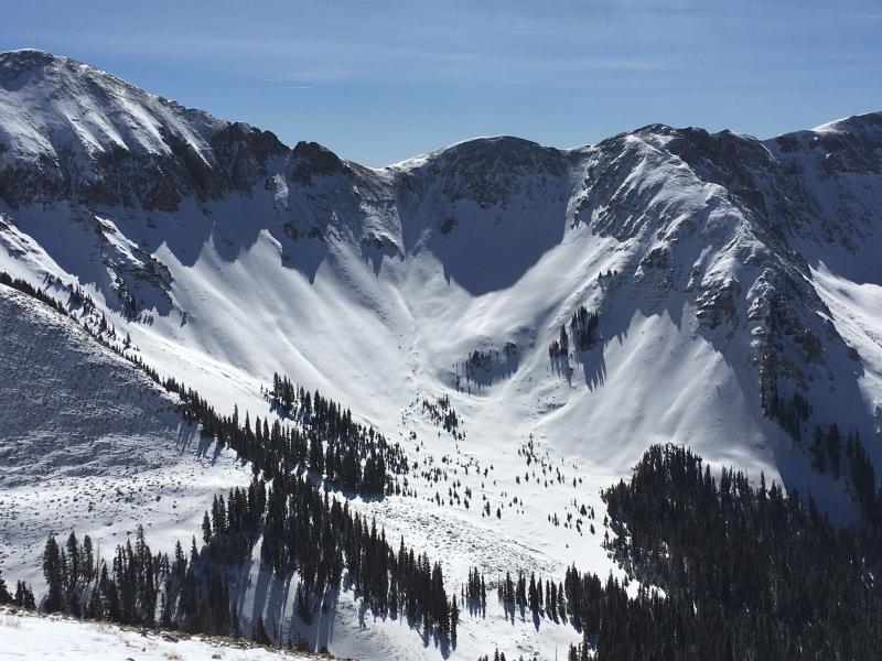
Upper elevation, north facing terrain is finally starting to look like it has a enough snow for turning. The problem is, this is precisely the kind of terrain where you could find avalanche problems. More on that below. Dave Garcia photo.