UDOT PLANNED AVALANCHE CLOSURES!!

Observation: Willows

Observation Date
2/6/2018
Observer Name
evelyn
Region
Salt Lake » Big Cottonwood Canyon » Willows
Location Name or Route
Willows
Weather
Sky
Overcast
Wind Speed
Calm
Weather Comments
Mostly overcast, but it was sure nice to briefly see a few patches of blue today. It actually felt like winter for a change, with temperatures in the teens. Winds were almost calm where we were, though nearby mountain weather stations did show steady 15 mph winds from the northwest.
Snow Characteristics
New Snow Depth
5"
New Snow Density
Medium
Snow Surface Conditions
Powder
Snow Characteristics Comments

Snow on crusts - 1 to 5" from the last 48 hours, increasing with elevation, right side up. A nice little refresh and very good turning if you kept your slopes angle low so you were not hitting the crusts. Amazing how supportable our very shallow snow pack is, with the crusts keeping you off the ground.

Red Flags
Red Flags
Poor Snowpack Structure
Red Flags Comments
Tour was mostly on south through easterly facing slopes. Still, a poor snowpack structure even on these aspects: new snow on a supportable crust, with dry, loose weak snow beneath (and other crust sandwiches below that). For now, crusts have added strength to the upper layers of the snowpack. I don't think there's enough weight in the new snow to activate any of the faceted weak layers on these more southerly facing slopes. Shady slopes? Hard to say, maybe in very isolated places?
Comments

Photos below:

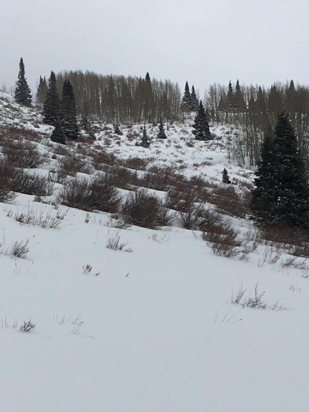
Still shallow....only a little mandatory bush skiing.

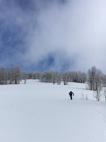
Blue sky! First in a while.

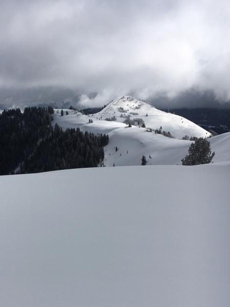
Fresh snow, just a little wind drifting along the ridge line.

Tomorrow: I expect the cold, dry snow to be reactive to the sun and the rapid rise in temperatures that are in the forecast. Though shallow, wet loose sluffs could be easily triggered and even some natural sluffs could occur, with the hard ice crusts beneath allowing them to entrain snow and run a bit further than expected for only 3 to 6" of new snow.

Also, a few sensitive wind drifts at the higher elevation ridge lines and an isolated chance of triggering a slab avalanche failing on one of the weak facet layers, NW-N-NE-E.

Today's Observed Danger Rating
Moderate
Tomorrows Estimated Danger Rating
Moderate