Donate to the 2024 Spring Campaign to help rebuild the UAC website.

Observation: Whitney Basin

Observation Date
1/30/2018
Observer Name
Ted Scroggin
Region
Uintas » Bear River Ranger District » Whitney Basin
Location Name or Route
Whitney Basin
Weather
Sky
Few
Wind Direction
Southwest
Wind Speed
Moderate
Weather Comments
A few scattered clouds, thicker at times, mild temperatures and gusty southwest winds were on the increase during the day.
Snow Characteristics
Snow Surface Conditions
Dense Loose
Wind Crust
Melt-Freeze Crust
Snow Characteristics Comments
Many areas have old tracks, wind worked snow, some thin crusts, but dense loose snow in protected places out of the wind.
Red Flags
Red Flags
Wind Loading
Poor Snowpack Structure
Red Flags Comments
Another round of developing wind drifts and wind slabs with today's increasing southwest winds. Weak, sugary, faceted snow still easily identified in snow pits in the middle of the snow pack. No reactive snow with stability tests, but still being cautious in the mid and upper elevation shady aspects.
Avalanche Problem #1
Problem
Wind Drifted Snow
Trend
Increasing Danger
Problem #1 Comments
Approaching front today brought increasing winds from a west and southwest direction. Only minor cracking of fresh wind drifts, not much snow left to work with as the exposed ridge lines have been hammered from a week of steady winds.
Avalanche Problem #2
Problem
Persistent Weak Layer
Trend
Same
Problem #2 Comments
Not much change in the snow pack with weak sugary faceted snow still easily identified in snow pits. The snow pack seemed a little relaxed right now, but today's winds may increase the hazard in localized areas.
Comments
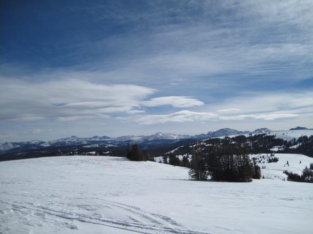
Some lens clouds developing over the higher terrain with the approaching cold front this afternoon.
Today's Observed Danger Rating
Moderate
Tomorrows Estimated Danger Rating
Moderate