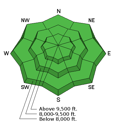
Forecast for the Skyline Area Mountains

Monday morning, April 10, 2017
The avalanche danger is generally LOW today. There may be some minor wet avalanche activity on the sunny slopes later today. Some of the large drifts that formed Saturday night may become unstable on the steepest slopes with daytime heating as well.

 Weather and Snow
The cold and very windy storm on Saturday night produced 2 to 4 inches of snow that really got blown around. On Sunday I found areas with drifts up to 3 feet deep and other areas scoured to the old snow surface. The wind drifted snow quite low in the canyons as well as along the higher ridges. I poked and nudged at a number of drifts and was not able to get any of them to crack.
Overnight mountain temperatures again dipped into the teens. West wind has been in the light to moderate speed range along the higher terrain.
 Recent Avalanches
Sunday, I noted some minor cornice falls that triggered shallow avalanches. They occurred during the windy storm on Saturday night. They did not run far or pile up large amounts of debris.
Additional Information

General Announcements
We will publish full detailed advisories Saturday and Sunday mornings by 7am. We will also be publishing basic avalanche danger ratings & info during the week.
If you are getting out into the mountains, we love to hear from you! You can SUBMIT OBSERVATIONS ONLINE or EMAIL US
If you would like to have avalanche advisories emailed to you, SIGN UP HERE
We can provide basic avalanche awareness presentations for your school, group or club. To enquire, CLICK HERE


