Forecast for the Uintas Area Mountains

Issued by Craig Gordon for
Tuesday, March 28, 2017
Tuesday, March 28, 2017
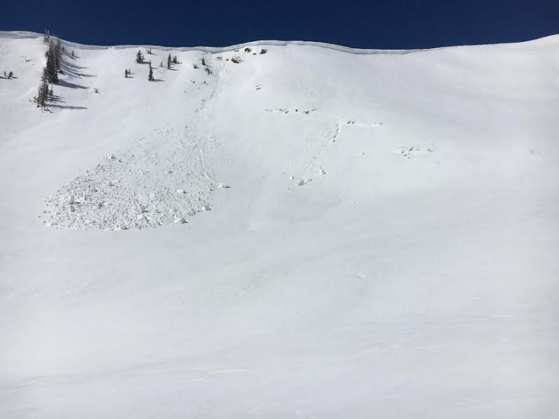
In the wind zone at and above treeline, a CONSIDERABLE avalanche danger exists and human triggered avalanches are LIKELY on steep, wind drifted slopes.
While not widespread, pockets of MODERATE avalanche danger are found at mid elevations and human triggered avalanches are POSSIBLE on steep slopes with recent deposits of wind drifted snow.
Wind sheltered terrain offers generally LOW avalanche danger.

Low
Moderate
Considerable
High
Extreme
Learn how to read the forecast here