Planned Website Outage: The UAC website will be down for maintenance on June 17 from 2:00 - 7:00 PM MT.

Observation: Superior

Observation Date
3/26/2017
Observer Name
Tyler Falk
Region
Salt Lake » Little Cottonwood Canyon » Superior
Location Name or Route
Superior to Cardiff
Weather
Sky
Clear
Wind Direction
Northwest
Wind Speed
Calm
Weather Comments
Cold with clear sky's early. Low tempature at Alta in he morning was around 20. High temps reached low 40's at 8500 by midday. No wind except 10k ridge lines which were quite most of the time with some occasional gusts in the morning.
Snow Characteristics
New Snow Depth
6"
New Snow Density
Medium
Snow Surface Conditions
Powder
Snow Characteristics Comments

6" of new snow at 9k with .69" of water which made the density 11.5%. Steep southeast aspects warmed up first by mid morning which led to the rest of southern aspects becoming wet by midday.

Red Flags
Red Flags
Rapid Warming
Red Flags Comments
With .69" of water not a ton of weight but definitely enough snow to blow around now especially on northern aspects where the storm snow is starting to add up. Limited transport noticed in the am from NW winds that seamed to tapper off later in the morning.
Avalanche Problem #1
Problem
Wind Drifted Snow
Trend
Increasing Danger
Problem #1 Comments

Some available snow for transport out there currently so I would make windslabs my number one concern for tomorrow. Winds gusting in the mid 20s from the WNW on 10k peaks at the moment so some wind slab formation should be expected in the alpine.

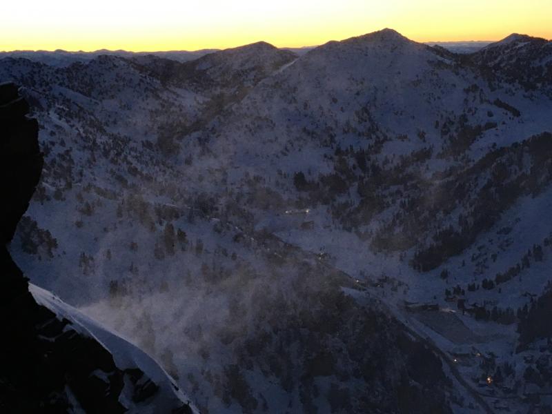
Pic 1. Limited transport occurring in the early am.

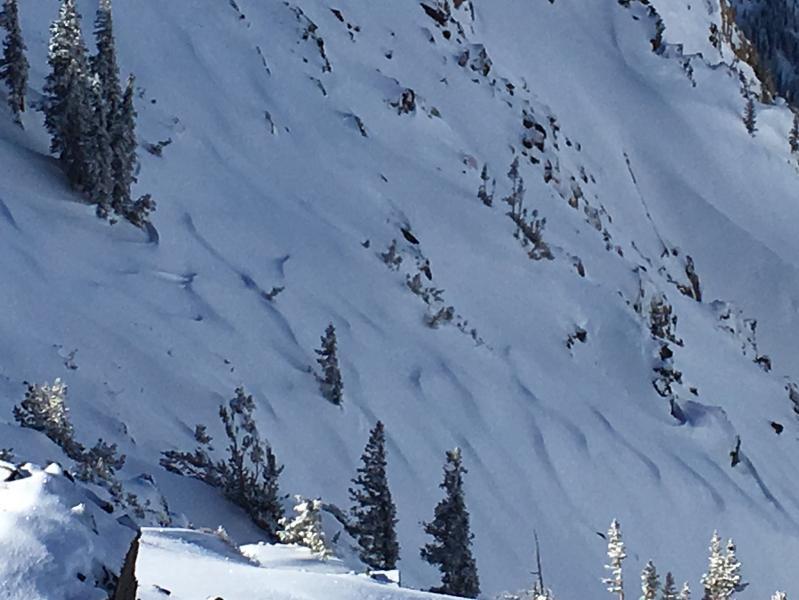
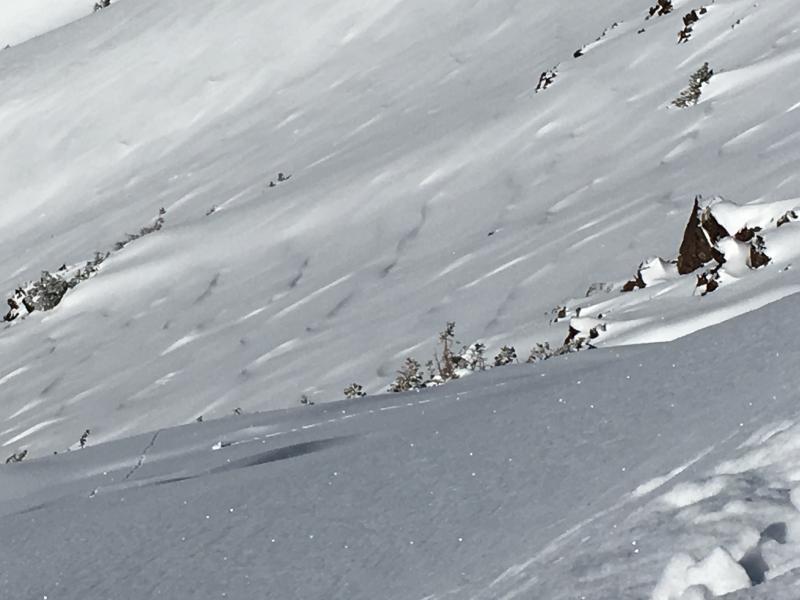
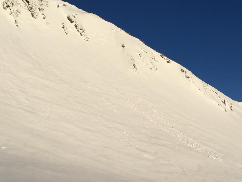
Pic 2 &3 Wind sculpted snow from the initial southern winds which changed to NW.

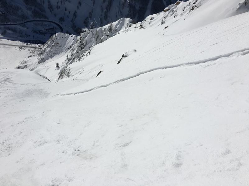
Pic 4. Shallow loose snow avalanches on the south face.

Pic 5. Old debris from activity on Cardiac ridge.

Today's Observed Danger Rating
Moderate
Tomorrows Estimated Danger Rating
Moderate