

Forecast for the Uintas Area Mountains

Sunday morning, March 26, 2017
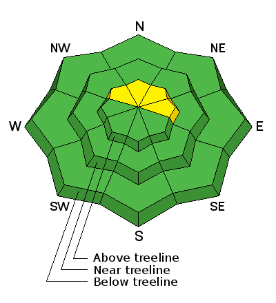
While not widespread, today you'll find pockets of MODERATE avalanche danger. Human triggered avalanches are possible on steep wind drifted slopes above treeline in the wind zone. Wind sheltered terrain offers generally LOW avalanche danger.
 Weather and Snow
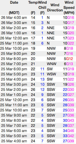
Yesterday's storm was more huff than fluff, but none-the-less we were able to squeak out a couple inches of snow. Skies cleared late last night and temperatures dove into the teens and low 20's. Winds switched to the north and northwest yesterday afternoon, relaxed somewhat, and are currently blowing 10-20 mph along the high ridges. Excellent riding and turning conditions are found on wind sheltered slopes facing the north half of the compass and low angle terrain with smooth snow underneath is the ticket today.
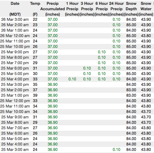
Above... 24 hour data from Lofty Lake Peak (11,186') and the Trial Lake snotel site (9,992') reflecting calm winds, an inch or two of new snow and a solid upper elevation snowpack.
Real time wind, snow, and temperatures for the Uinta's are found here
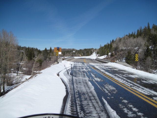
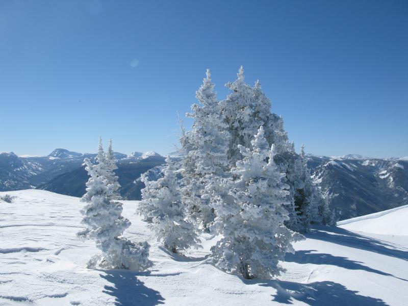
Lower elevation trailheads took a big hit from last weeks big warm up. But up high, it's still cold and frosty and there's a deep, solid snowpack.
Snowpack observations and trip reports are found here.
 Recent Avalanches
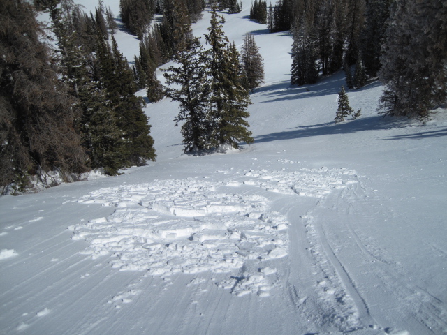

Wind Drifted Snow

Description
Yesterday's winds found just enough snow to blow around and form fresh drifts sensitive to the additional weight of a rider. Found on leeward slopes facing the north half of the compass, today's shallow slabs are soft and isolated to upper elevation terrain in the wind zone. While predictably breaking at or below our skis, board, or sled, as always, look for and avoid any fat, rounded piece of snow, especially if it feels or sounds hollow like a drum. In general, we've got a solid, well-behaved snowpack, today's avalanche hazard is straight-forward, and this is an easy avalanche problem to deal with. Lose a little elevation and you lose the problem.
Cornice
Description
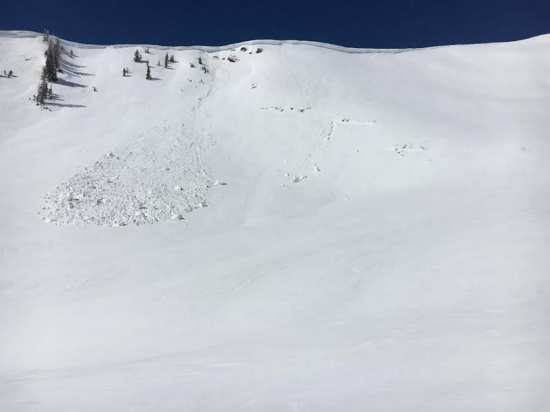
I found this naturally triggered cornice during my travels from Weber Canyon to Chalk Creek yesterday. My best guess on timing is earlier in the week when temperatures skyrocketed. While today's corni might not be overly sensitive, these boxcar monsters are completely unpredictable and should definitely be avoided.
Additional Information
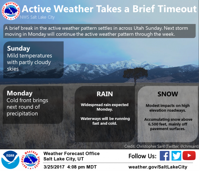
A short-lived ridge of high pressure gives a stunning day with mostly sunny skies and high temperatures climbing into the mid 30's. Along the high ridges, northerly winds blow in the teens and mid 20's. Clouds increase late in the day ahead of a storm system slated to impact the region Monday and Tuesday. It looks like we get a good shot of snow early in the week with a midweek break and another system lined up for Thursday.
General Announcements
Remember your information can save lives. If you see anything we should know about, please participate in the creation of our own community avalanche advisory by submitting snow and avalanche conditions. You can call me directly at 801-231-2170, email [email protected]
The information in this advisory is from the US Forest Service which is solely responsible for its content. This advisory describes general avalanche conditions and local variations always occur.
The information in this advisory expires 24 hours after the date and time posted, but will be updated by 7:00 AM on Monday March 27th.