

Forecast for the Skyline Area Mountains

Saturday morning, March 25, 2017
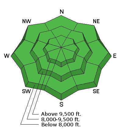
The avalanche danger is generally LOW today.
 Special Announcements
Be sure to follow @skyline_avalanche on Instagram for quick updates on conditions.
A post shared by Brett Kobernik (@skyline_avalanche) on
 Weather and Snow
Temperatures were mild Saturday morning and there was a little more filtered sun than I anticipated. Avalanche conditions remained pretty safe. I found riding conditions soft and fun. The storm moved in around 2pm and added a few inches of snow by early evening. Snowfall tapered off by midnight. Overnight temperatures dipped down to around 20˚F. West northwest wind was in the moderate speed category.

Normal Caution
Description
Avalanche conditions should remain fairly safe again today. With sun and spring time weather you can bet that the snow will become wet. I don't think things will become wet enough to make conditions dangerous. It is always wise to stay off and from underneath steep slopes when they become really wet especially in the afternoon. Avoid terrain traps such as steep walled gullies where even a small slide could bury a person deep.
Additional Information
Today the clouds should break a bit and we should see some sun. It looks like we'll see some clouds through the day with ridgetop high temperatures in the mid 30s. Northwest wind will be generally light. The next storm will move through Monday afternoon and Tuesday and should give us 6 to 10" of new snow. Another storm is shaping up for Friday that looks fairly decent at this point for more snow.

General Announcements
We will publish full detailed advisories Saturday and Sunday mornings by 7am. We will also be publishing basic avalanche danger ratings & info during the week.
If you are getting out into the mountains, we love to hear from you! You can SUBMIT OBSERVATIONS ONLINE or EMAIL US
If you would like to have avalanche advisories emailed to you, SIGN UP HERE
We can provide basic avalanche awareness presentations for your school, group or club. To enquire, CLICK HERE