Planned Website Outage: The UAC website will be down for maintenance on June 17 from 2:00 - 7:00 PM MT.

Observation: Snowbird periphery

Observation Date
3/24/2017
Observer Name
B
Region
Salt Lake » Little Cottonwood Canyon » Snowbird periphery
Location Name or Route
Snowbird Periphery
Weather
Sky
Few
Wind Direction
Southwest
Wind Speed
Light
Weather Comments
Mostly Clear skies with Few in the early pm. Temperatures spiked quickly and by 0930 it became uncomfortably hot. The snow got damp and then wet by 1000 on E, SE, and S early in the day. Winds were Light in the morning out of the S and SW; and they began to ramp up by mid afternoon.
Snow Characteristics
New Snow Depth
12"
New Snow Density
Medium
Snow Surface Conditions
Dense Loose
Wind Crust
Melt-Freeze Crust
Damp
Snow Characteristics Comments

Storm totals from Wednesday and Thursday were 12 inches with the last 3 to 5 inches being on the lighter side, yet by Friday the residual warmth from the snowpack combined with the damaging late afternoon and evening winds (from Thursday) adversely affected the majority of the terrain in the mid and upper elevations. Melt freeze crusts were observed early in the morning at 9000 feet on low angle terrain on southerly aspects due to the warm ambient temperatures from Wednesday and Thursday along with residual warmth of the prestorm snowpack. By the end of the day only due north with slope angles > 25 degrees were able to maintain cold snow.

Red Flags
Red Flags
Recent Avalanches
Wind Loading
Cracking
Rapid Warming
Poor Snowpack Structure
Red Flags Comments
Poor snowpack structure continues to be found at the top of the interface of Wednesdays snow where it connects with Thursdays event. The graupel associated with Wednesdays storm continues to provide a reactive weak layer at this interface. Slope cuts on steep slopes on all aspects (including but not limited to NE, N and NW) were still yielding easily triggered sluffing running on this firm bedsurface. Wet Slabs and Wet Loose avalanches were easily able to be trigger this kind of reacivity by 1000 on S facing steep terrain. Minimal cracking in wind loaded terrain was observed, yet these slabs were predominently stubborn.
Avalanche Problem #1
Problem
Wet Snow
Trend
Decreasing Danger
Problem #1 Comments

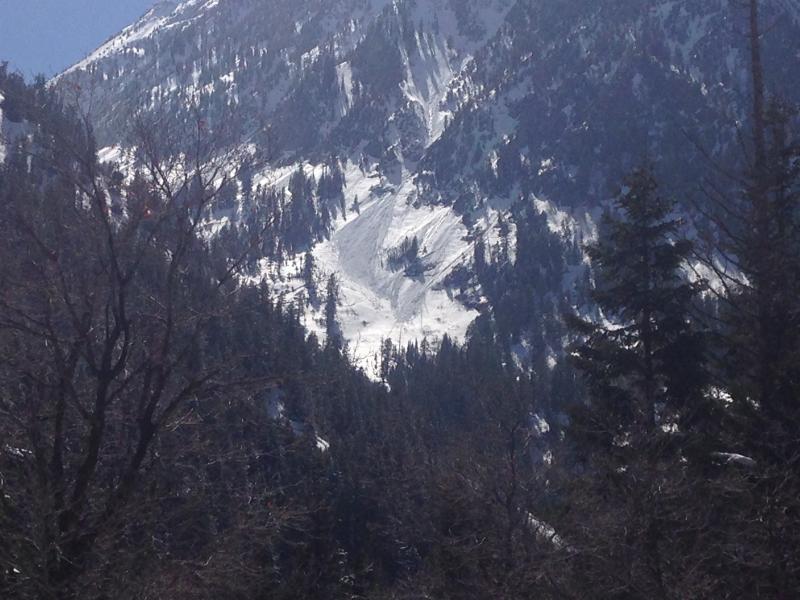
See photos taken of naturals on E and ENE aspects in Hogum and Maybird. Temperatures forecast for Saturday appear to be much colder and this combined with the cloud cover may help decrease the trend on this problem.

Of note: the previously cited interface issue may continue to heal with the warm temperatures and sunshine that was observed on Friday.

Avalanche Problem #2
Problem
Wind Drifted Snow
Trend
Increasing Danger
Problem #2 Comments

Wind slab development late in the day on Friday, along with any lingering wind slabs from the past two days may be of concern in the upper elevation exposed and loaded terrain on Saturday.

Danger appeared to be Moderate today besides the Natural Wet Loose activity observed.

Today's Observed Danger Rating
Moderate
Tomorrows Estimated Danger Rating
Moderate