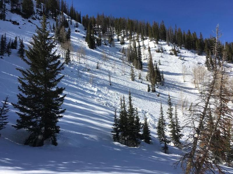
Skies remained clear last night, but temperatures barely dipped into the low to mid 30's. Winds switched to the south early this morning and are blowing 15-25 mph along the high ridges. Riding and turning conditions have taken a bit of a hit and are aspect and elevation dependent. As far as corn harvest futures are concerned... upper elevation sunny slopes are still a bit immature and slightly punchy and I think the surface refreeze won't last too long on low and mid elevation south facing terrain. On the north half of the compass, it's hit or miss, though you'll still find patches of shallow, dense powder on wind sheltered, upper elevation slopes.


Above... 24 hour data from Windy Peak (10,600') and the Trial Lake snotel site (9,992') reflecting a marginal overnight refreeze.
Real time wind, snow, and temperatures for the Uinta's are found here
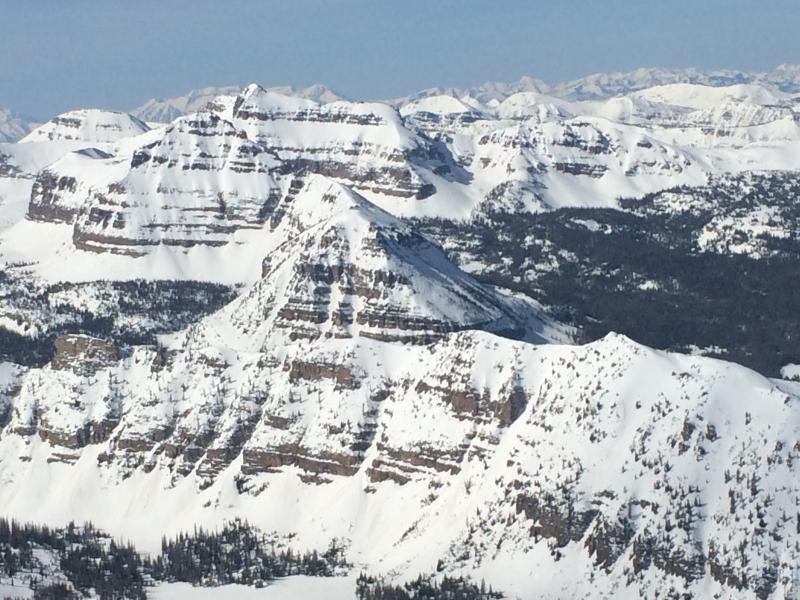
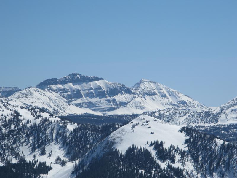
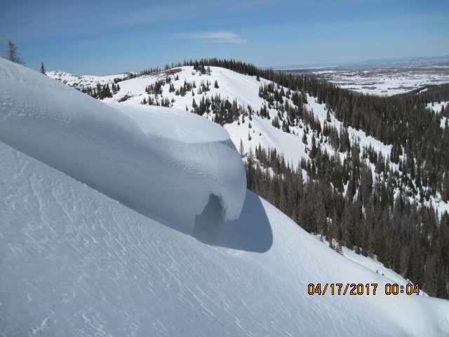
Wow... the Uinta's are white and the views... well they're stunning!

The trailheads have taken a bit of a beating this week and getting to the high terrain is brutal before the snow surface loosens up. As far as the date stamp is concerned... Ted borrowed the camera from a guy named McFly :)
Snowpack observations and trip reports are found here.
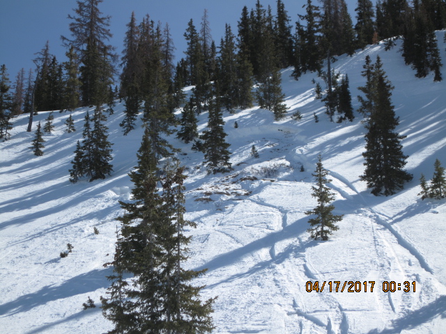
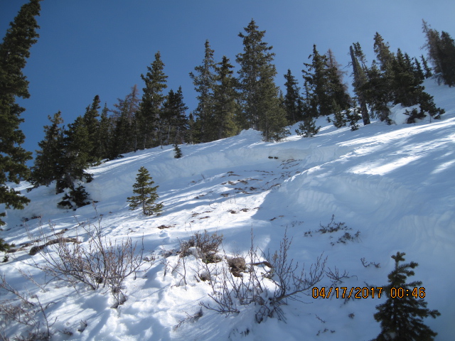

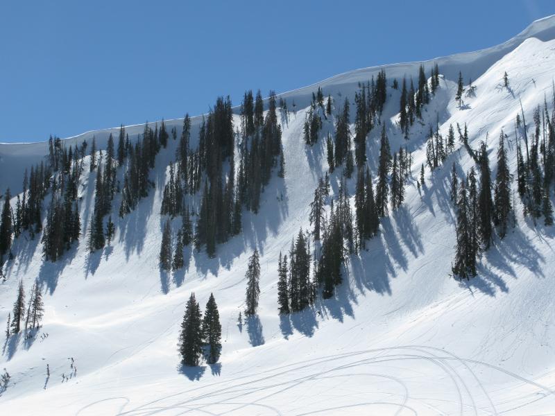
More the exception than the rule... Ted found this couple day old sled triggered pocket on a repeater path of Gold Hill. Not overly huge, but none-the-less a red flag, breaking to the ground on weak, dry facets.
A full list of Uinta avalanche activity is found here.