Forecast for the Moab Area Mountains

Issued by Eric Trenbeath for
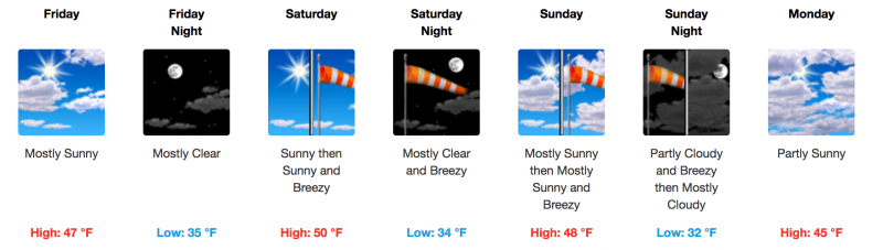
Friday, March 17, 2017
Friday, March 17, 2017
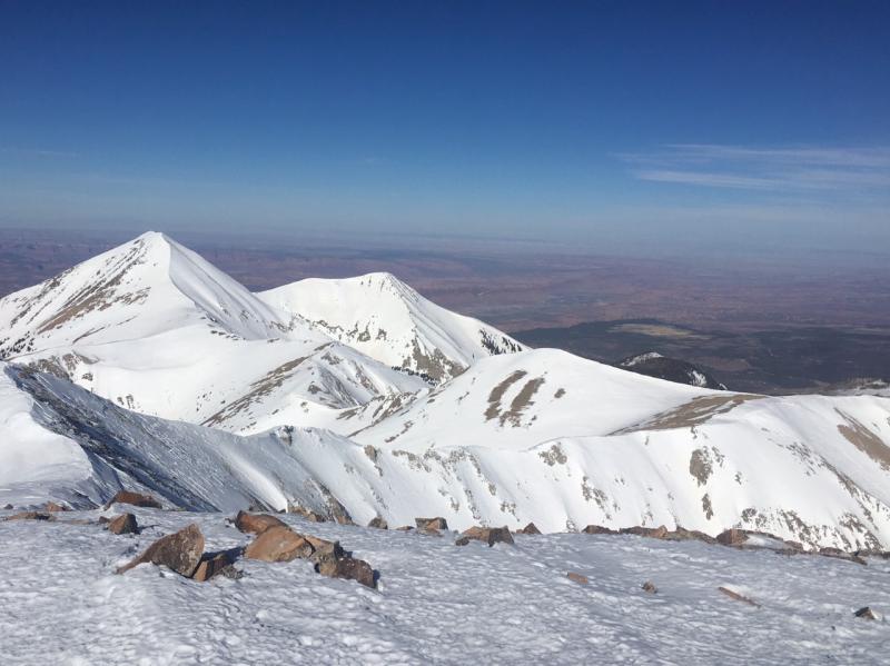
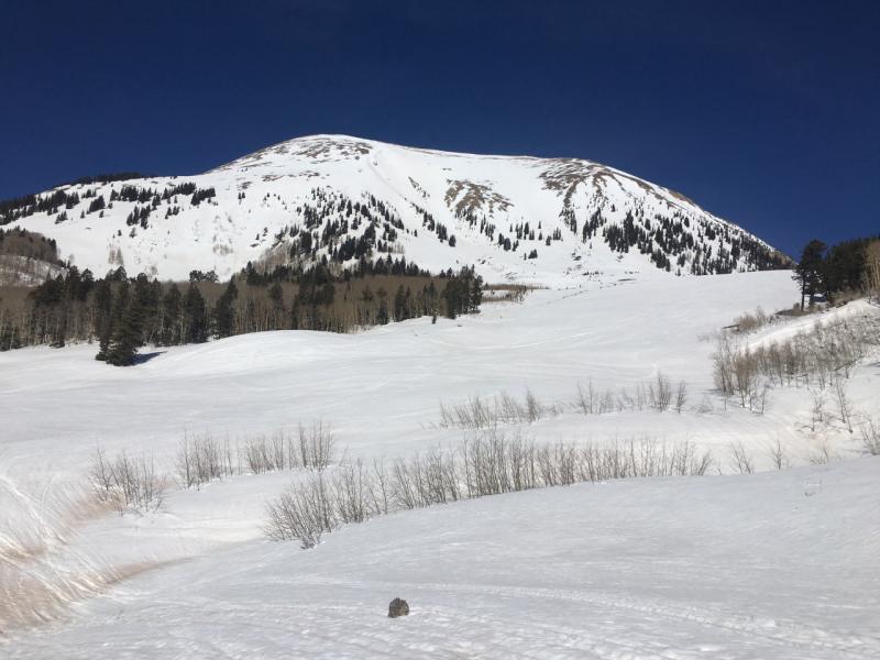
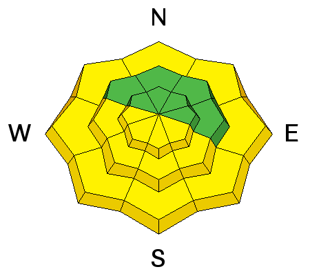
The avalanche danger is generally LOW and mostly stable snow conditions exist. With daytime heating, the danger for wet slide activity may increase to MODERATE, and backcountry travelers need to be alert to signs of instability such as roller balls, pinwheels, or sloppy wet snow up around their boot tops. Follow the sun and get off of exposed aspects if any of these signs are present. Start early and end early, and as a general rule, plan to be out of avalanche terrain by around noon.
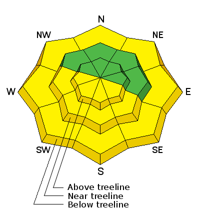
Low
Moderate
Considerable
High
Extreme
Learn how to read the forecast here