


Forecast for the Skyline Area Mountains

Friday morning, March 10, 2017
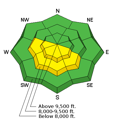
Avalanche conditions are generally safe with most of the terrain having a LOW danger. The danger of wet avalanches will increase as the day goes on so avoid being on and below very steep terrain as the snow becomes really wet. Cornices are large and may start to break off naturally with the warm weather.
 Recent Avalanches
Temperatures remained fairly warm overnight with lows only in the mid 30s in the higher terrain. This is one indicator that points to wet avalanche activity. Generally it takes two to three nights in a row with above freezing temperatures to produce significant wet avalanche activity but it is something to keep an eye on today. Wet avalanche activity is pretty easy to avoid for the most part. Stay out of confined terrain such as steep walled gullies where wet snow can pile up deep. Move off of steep slopes as they start to become wet and sloppy.
Additional Information

General Announcements
We will publish full detailed advisories Saturday and Sunday mornings by 7am. We will also be publishing basic avalanche danger ratings & info during the week.
If you are getting out into the mountains, we love to hear from you! You can SUBMIT OBSERVATIONS ONLINE or EMAIL US
If you would like to have avalanche advisories emailed to you, SIGN UP HERE
We can provide basic avalanche awareness presentations for your school, group or club. To enquire, CLICK HERE