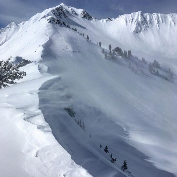
Decided to pry myself away from the PC Ridgeline and have a look at what happened in upper Cardiff during the storm, only noted one large slide that had taken place during the storm, just around the corner from Cardiac Ridge in the chute between the Ridge and the Ivory Rock Slabs, looked to have about a 3 foot crown with a nice debris pile at the bottom, looks to have been caused by wind loading from the SW earlier in the week. Today we could only get sluffing in the steepest terrain and they were lethargic and not packing much of a punch. Last weeks storm snow seems well bonded to the old surface with no layering in the new snow. What might be the game changer is the increasing winds out of the SW they were blowing all day and in the afternoon the speeds were increasing and the winds were getting down lower in the drainages and transporting snow to the lee side of ridges.
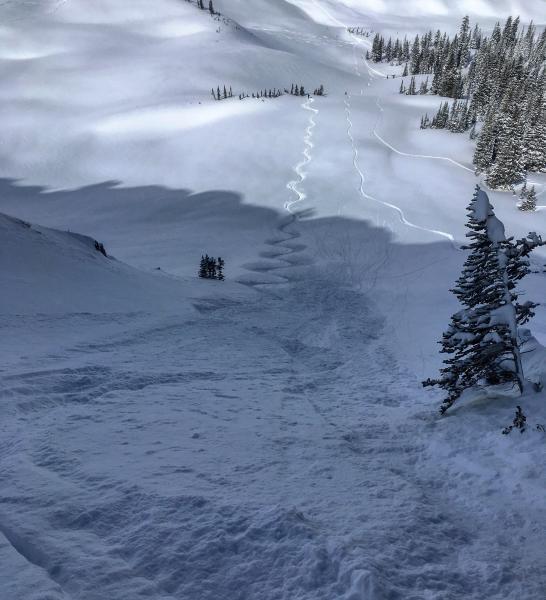
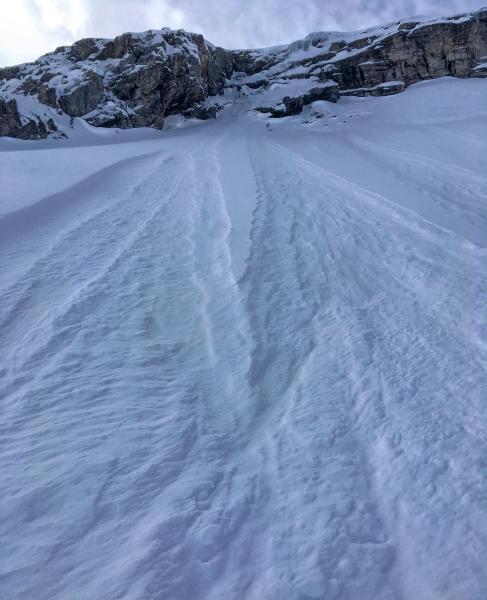
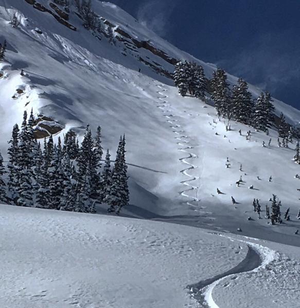
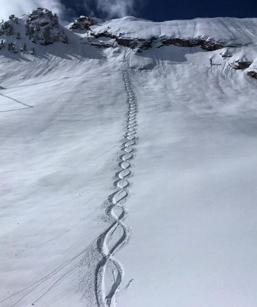
Photos: wind transport on the ridge line, skier triggered sluffing in only the steepest terrain, natural sluffing due to todays winds, the slide I mentioned and the culmination of one of the best storm cycles we've had in years.