


Forecast for the Salt Lake Area Mountains

Friday morning, February 24, 2017
The avalanche hazard is CONSIDERABLE today for loose, dry sluffs in steeper terrain, and for fresh wind drifts at the upper elevations.
Brilliant, license-plate worthy powder skiing can safely be enjoyed today on lower-angled slopes.
 Special Announcements
Little Cottonwood Canyon Backcountry Closure:
LCC Full Closure North Side
Thursday, February 23, 2017 - 10:00pm to Friday, February 24, 2017 - 8:00am
Full north-side LCC backountry closure from Lisa Falls through Grizzly Gulch. South-side access from White Pine parking ok. Estimated opening when LCC road opens approximately 8am Friday the 24th.
Click here for more details.
 Weather and Snow
As of 5 am, mountain temperatures range throughout the single digits and winds are out of the west/northwest. Winds increased for a few hours overnight, but are currently averaging < 10 mph with gusts in the teens at 10000'. Above 10,000' winds are averaging in the teens with gusts in the 20's mph, although gusts have been a high as 40 mph at 11,000'.
The Cottonwoods and Park City mountains picked up another 5-7" of 3-5% fluff overnight, with 24 hour totals of 18". The Week in Review summarizes snow totals for the past week.
Despite the low-density fluff, trailbreaking was a chore on Thursday, and thigh-deep in places. Settlement overnight and during the day today should help reduce the struggle of uphill - and occasional downhill - trailbreaking.
Week in Review
A series of weather systems on a southwest flow arrived over Friday through Sunday Feb 17/18/19 with storm totals of up to 24" in the Cottonwoods, 14" in the Park City mountains, 18" Ogden mountains, and 6" at the mid elevations in the Provo mountains. Storm densities were Cascade-like with water totals exceeding 2".
Sunday was an especially active day with several skier-triggered avalanches reported from the backcountry. These slides included both storm snow as well as fresh wind slabs, and were running within the storm snow as well as a layer of faceted snow that formed Feb 12-15 during a period of clear high pressure.
Monday and Tuesday featured warming temperatures, with increasingly strong winds that gusted over 60 mph by Tuesday afternoon. These strong winds ushered in a cold front that arrived Tuesday evening. A cold, unstable northwest flow led to continued moderate to strong snowfall since Tuesday evening, with impressive storm totals:
- 30-47" in LCC and BCC with 2.0" - 4.0" of water
- 31" Park City with 2.35" of water
- 34" Ogden mountains with 2.5" water
- 23" Provo with 1.6" of water.
Avalanche activity during this storm included wind drifts primarily at the upper elevations and long-running sluffs in the loose dry snow and resulted from control work at the resorts and the mountain highways, as well as natural activity that occurred during spikes in precipitation. During this period, the avalanche hazard was either Moderate or Considerable, but with brief spikes to High during periods of heavy precipitation.
 Recent Avalanches
Small to medium-sized slides were reported from control work at the resorts as well as highways on Thursday, and a few small natural avalanches were reported overnight. Late yesterday afternoon a large (class 3) natural avalanche was reported from Mount Superior in Little Cottonwood Canyon. Reports from the backcountry indicated sensitive storm snow during spikes in precipitation, with a likely natural cycle occurring in the late morning, although poor visibility limited avalanche viewing. Pro observer Mark White was able to trigger a soft slab avalanche in West Monitor Bowl along the Park City ridgeline. You can read Mark's usual excellent write-up here.
 |
 |
New Snow
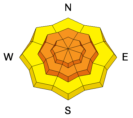
Description
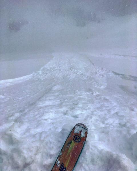
Although I am expecting the storm snow to be much less sensitive today, continued snowfall during the day will maintain the likelihood of sluffing in steeper terrain. These sluffs are requiring terrain steeper than 35 degrees, but will run long distances on steep, sustained pitches, entraining snow amounts that are large enough to bury a person. On slopes less steep than 35 degrees, sluffs are difficult to initiate and maintain.
On smaller slopes, be sure to avoid where a sluff may take you into a terrain trap such as a steep-sided gully, tree well, or the uphill side of trees where a sluff may pile up deeply enough to bury you.
The take home message is that there is abundant terrain where you can safely enjoy our legendary Utah powder by sticking to lower-angled slopes.
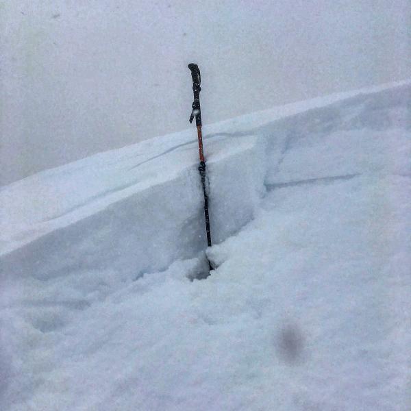
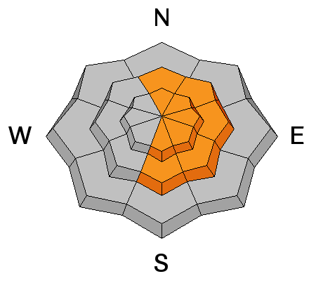
Wind Drifted Snow

Description
Although winds have fortunately only been in the moderate category, there is an abundance of loose snow available for transport, and any fresh wind drifts will be sensitive. There was a brief increase in winds overnight at some remote weather stations, and any fresh drifts that formed overnight will now be covered by fresh storm snow. I am suspicious and suspect that the natural avalanche that occurred on Mt. Superior late in the day on Thursday was wind-related.
Winds are not forecasted to be all that strong today, and concerns for fresh drifts are primarily at elevations above 10,000'. However, winds can be localized so it may be windy where you are. Pay careful attention for any increase in wind speeds and avoid slopes with any recent wind drifting.
Cornice
Description
Cornices are immense this season, among the largest I have ever seen in the Wasatch. Any wind drifting along the ridgelines only adds another layer of skin to these monsters. On Wednesday a large avalanche was triggered by a cornice fall, and yesterday I was able to remotely trigger a fresh cornice while walking along a wind-drifted ridgeline:
Stay well-back from corniced ridge lines.
Additional Information
Today will be a beautiful winter day with pleasantly cool temperatures, cloudy skies, and with a cold, unstable, northwest flow* continued snow showers that may add up to 3-6". Winds are forecasted to be out of the west/northwest and average about 10 mph at mid elevations, and low 20's at the upper elevations, with temperatures rising into the teens. Continued light to moderate winds overnight with temperatures just above 0 F. Saturday should remain cool and cloudy with snow showers later in the day.
A copy-cat cold storm forecasted for early this coming week.
* With apologies to Henry James, the most beautiful words in the English language.
General Announcements
|
Remember your information can save lives. If you see anything we should know about, please help us out by submitting snow and avalanche conditions. You can also call us at 801-524-5304, email by clicking HERE, or include #utavy in your tweet or Instagram. To get help in an emergency (to request a rescue) in the Wasatch, call 911. Be prepared to give your GPS coordinates or the run name. Dispatchers have a copy of the Wasatch Backcountry Ski map. Backcountry Emergencies. It outlines your step-by-step method in the event of a winter backcountry incident. If you trigger an avalanche in the backcountry, but no one is hurt and you do not need assistance, please notify the nearest ski area dispatch to avoid a needless response by rescue teams. Thanks.
EMAIL ADVISORY If you would like to get the daily advisory by email you will need to subscribe here. DAWN PATROL Hotline updated daily by 5-530am - 888-999-4019 option 8. TWITTER Updates for your mobile phone - DETAILS UDOT canyon closures: LINK TO UDOT, or on Twitter, follow @UDOTavy, @CanyonAlerts or @AltaCentral Utah Avalanche Center mobile app - Get your advisory on your iPhone along with great navigation and rescue tools. Powderbird Helicopter Skiing - Blog/itinerary for the day Lost or Found something in the backcountry? - http://nolofo.com/ To those skinning uphill at resorts: it is critical to know the resort policy on uphill travel. You can see the uphill travel policy for each resort here. Benefit the Utah Avalanche Center when you shop from Backcountry.com or REI: Click this link for Backcountry.com or this link to REI, shop, and they will donate a percent of your purchase price to the UAC. Both offer free shipping (with some conditions) so this costs you nothing! Benefit the Utah Avalanche Center when you buy or sell on ebay - set the Utah Avalanche Center as a favorite non-profit in your ebay account here and click on ebay gives when you buy or sell. You can choose to have your seller fees donated to the UAC, which doesn't cost you a penny. This information does not apply to developed ski areas or highways where avalanche control is normally done. This advisory is from the U.S.D.A. Forest Service, which is solely responsible for its content. This advisory describes general avalanche conditions and local variations always occur. |