Observation Date
2/12/2017
Observer Name
Brad N
Region
Salt Lake » Big Cottonwood Canyon » Willows » West Willow
Location Name or Route
Willow Ridge and Main Willow
Weather
Sky
Clear
Wind Direction
Northeast
Wind Speed
Light
Weather Comments
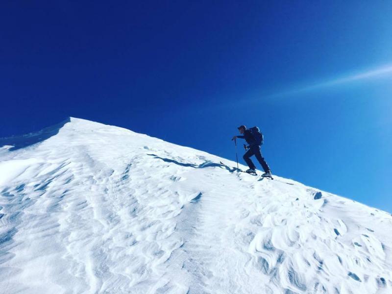
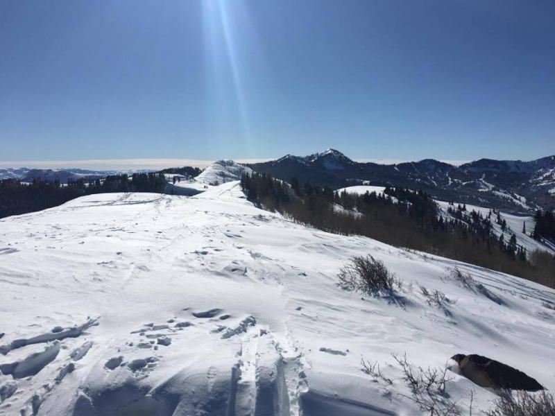
Temps were high teens at the trailhead but warmed quickly in the sun. Skinning from Willow Knob along the ridgeline to the start of Main Willow the wind was blowing enough to move snow along the surface.
Snow Characteristics
Snow Surface Conditions
Powder
Dense Loose
Wind Crust
Rain-Rime Crust
Snow Characteristics Comments
Snow above 9000ft skied very well, soft powder. Below 9000ft the snow was a mix of soft cream and pockets of wind blown powder in open bowls and runs. Shady aspects down low retained a rain crust and turns in the trees were a good time due to it on the ski out. Ridgelines were very wind blown with numerous rocks deceptively covered by a loose amount of snow that would reach up to remind your skis rocks were there.
Red Flags
Red Flags
Rapid Warming
Red Flags Comments
It was warming quickly throughout the tour. Although only out for approximately 2.5 hours the temperature and solar radiation increased throughout the time. At 8:45 start the temp was 11 on my iphone, upon return at 10:55 the temp was 34. Exposed slopes softened although in the trees some areas remained frozen. Most turns produced rollers.
Avalanche Problem #1
Problem
Cornice
Problem #1 Comments
Solar radiation and warmer temps are going to make cornices really sensitive. In both Monitor Bowls it was evident that huge cornice calving had occurred producing large blocks in the runout zones.
Avalanche Problem #2
Problem
New Snow
Problem #2 Comments
Several avalanches were evident in the Monitor bowls. At least one point release in South Monitor. Two large slides were evident in West Monitor, at least one of which appeared to be skier triggered. It looked like storm slab or wet slab that had been sun affected.
Snow Profile
Aspect
Southeast
Elevation
10,000'
Slope Angle
26°
Comments
Good skiing overall and good conditions. Very likely these will deteriorate over the week as the high pressure ridge settles in and sunshine is abundant. A lot of solo skiers out getting after it on steep terrain. I estimate the danger ratings for the next few days will be low in the mornings and rise to moderate by early afternoon at higher elevations and perhaps considerable on southern aspects at low elevation.
Today's Observed Danger Rating
Moderate
Tomorrows Estimated Danger Rating
Moderate
Coordinates