

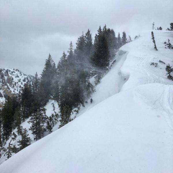
No real red flags today if you where above 9000ft except the wind, but there isn't much loose snow to move around, but that was starting to change by the time I left. I did note some concerning cracking just off the ridge line, the dense wind blown snow and graupel would crack out on the dry snow underneath the rime crust taking the crust with it, something to think about if we get a decent load of snow overnight. Another thing to think about might be the layer of graupel the the new snow load is going to be resting on, noted large amounts of graupel pooling beneath rock features and rolling down the steeper slopes. There where plenty of red flags below 8500ft, rain on snow, saturated snow pack that hasn't had a refreeze in at least 3 days, and recent wet slides from the unusually warm temperatures an all aspects.
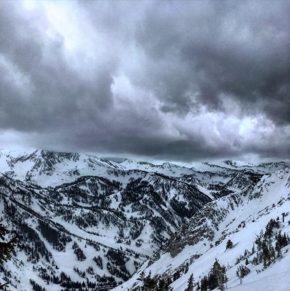
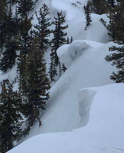
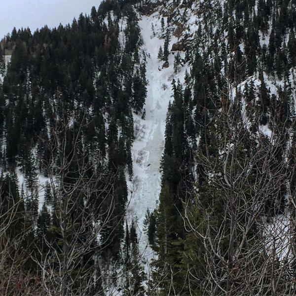
Photos: Cracking below the rime crust on high N, graupel pooling, storm front rolling in in the afternoon, sagging cornices and minor wind loading on the ridge line, wet slide in Red Chute not sure of the timing.

Hazard really depends on the weather, with more wind and snow I would expect some wind loaded pockets might be sensitive on the high ridge lines tomorrow, and if it continues to cool down the lower elevations might get a shallow refreeze but it will take some time, and cold temperatures for the whole snow pack to freeze and consolidate. Todays seemed like moderate above 8500ft and considerable below that, so you kind of got to stick with considerable. thinking on the moderate side tomorrow unless we get a decent load of new snow and continued strong winds.