Observation Date
2/5/2017
Observer Name
Derek DeBruin, Mike Henderson
Region
Ogden » Ben Lomond » Cutler Ridge
Location Name or Route
Ben Lomond, Cutler Ridge
Weather
Sky
Broken
Wind Direction
West
Wind Speed
Moderate
Weather Comments
We had a blustery, spring-like day on Cutler Ridge. We started the morning at 0830 with temps just below freezing at low elevation, as evidenced by the breakable surface crust. We also immediately notice a light wind that grew to moderate as we ascended. Temperatures were generally mild throughout the day, probably hovering around freezing--the low elevation crust disappeared, particularly in the sun, but at mid elevation it remained just cold enough to shelter some dense powder. Winds increased throughout the day and were consistently moderate at mid elevation with strong gusts and obvious evidence of wind along the high elevation ridgelines--cornices, wind pillows and scalloping, rapidly moving clouds, and snow plumes.
Snow Characteristics
Snow Surface Conditions
Dense Loose
Melt-Freeze Crust
Damp
Snow Characteristics Comments
As expected, surface snow decreased in density with increase in elevation outside of wind-affected areas. Dead Tree Knob (8,000') was definitely wind packed along the ridge, with plenty of wind rippling and styrofoam slab forming on top and on the leeward side. Below Dead Tree in the sheltered shots near the weather station we found good turns on dense powder preserved from yesterday. By early afternoon there was still decent dense powder near Indicator Hill (7,100'), but as the day advanced the snow became progressively moist , almost skiing like corn. By mid-afternoon the low elevation snow was fully damp mashed potatoes. The exit gully was quite smooth and slick, which made for a more exciting exit today.
Red Flags
Red Flags
Heavy Snowfall
Wind Loading
Poor Snowpack Structure
Red Flags Comments
There was plenty of high elevation wind load, as well as mid-elevation wind effects in the usual places. The Cutler Headwall is filling in, growing cornices, and looking as pillowed as ever. The summit of Ben Lomond never seemed to come out of the clouds but the wind was definitely blowing up there.
Snowfall and poor snowpack structure are anticipated increasing concerns over the next few days, depending on what this storm produces. Based on the deep persistent layers as well as the buried surface hoar just below the new graupel (about 12cm down), I would not be surprised if the expected dense snow adds enough weight to start overloading some lingering buried weak layers.
Avalanche Problem #1
Problem
Wind Drifted Snow
Trend
Same
Problem #1 Comments
Wind was the most significant concern today but easily managed by avoiding the windy areas. We went up to Dead Tree just to take a look at things but didn't feel encouraged to stick around for long.
Comments
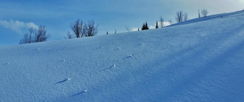
Pic of some small roller balls that began forming around 1400 or so this afternoon, in response to skinning on the slope. The turns down created a few as well. However, we didn't see much in the way of spontaneous wet point releases; the increasingly cloudy sky and consistent winds seemed to keep things cool enough to not go on their own.
Danger rating for today was the low end of moderate, danger rating for tomorrow the high end of moderate, possibly increasing to considerable. We haven't had a true hard freeze in 48 hours and with the coming rain at lower elevation further wet slides may occur. The dense snow at upper elevation may create enough load to make the buried surface hoar layers touchy.
Today's Observed Danger Rating
Moderate
Tomorrows Estimated Danger Rating
Moderate