Forecast for the Skyline Area Mountains

Brett Kobernik
Issued by Brett Kobernik for
Friday, January 20, 2017

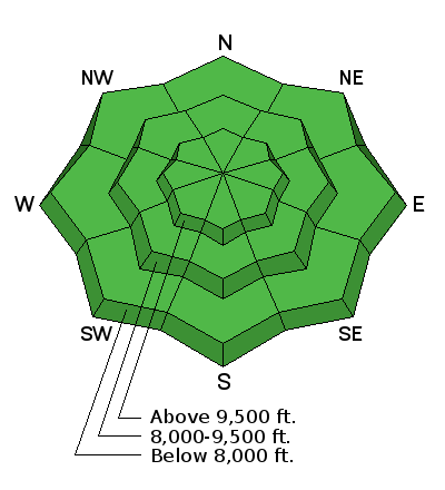
Most of the terrain has a LOW avalanche danger today. You may find scattered small pockets of snow that could crack along the higher ridges. Continue to only put one person on a steep slope at a time and clear the avalanche runout zones at the bottom.

Low
Moderate
Considerable
High
Extreme
Learn how to read the forecast here
Special Announcements

If you sign up for AmazonSmile and designate the Utah Avalanche Center as your favorite charity, they will donate a portion of everything you spend to the UAC. It doesn't cost you a penny and we'd really appreciate the help.

Weather and Snow

We picked up 2 to 4 inches of new snow in the last 24 hours. The wind has been light and the temperatures are around 20 degrees in the high country. The new snow will not have changed the avalanche danger much. Riding conditions should continue to be good.

Ad
Additional Information

General Announcements

We will publish full detailed advisories Saturday and Sunday mornings by 7am. We will also be publishing basic avalanche danger ratings & info during the week.

If you are getting out into the mountains, we love to hear from you! You can SUBMIT OBSERVATIONS ONLINE or EMAIL US

If you would like to have avalanche advisories emailed to you, SIGN UP HERE

We can provide basic avalanche awareness presentations for your school, group or club. To enquire, CLICK HERE