Forecast for the Skyline Area Mountains

Thursday morning, January 19, 2017
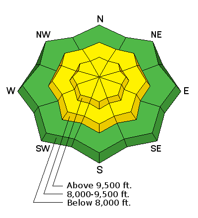
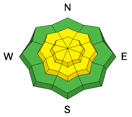
The avalanche danger will increase a bit today as the new snow accumulates. The avalanche danger may increase to MODERATE mid day today as the snow amounts and wind increases. If the new snow is cracking and appears sensitive, avoid bigger slopes where an avalanche could entrain enough snow to pack a punch.

New Snow

Description
Pay attention to how the new snow is behaving as the snow adds up today. Watch for cracking around your skis, snowboards or machines. Hit small steep test slopes to try and initiate any cracking which will help give you an idea of how sensitive the new snow will get.
Additional Information
We have a series of storms moving through from today through early next week. It looks like three distinct periods of storms. None of them look all that big but perhaps we'll see 20" new snow by the time it's all said and done. Today, southwest wind should increase a bit and we'll see snow with most of the accumulation from noon into this evening. I'm thinking we'll get 3 to 6". High temperatures will be in the mid 20s. There is a break on Friday then another system moves through Saturday then another break on Sunday. The last system moves through Monday and Tuesday.
General Announcements
We will publish full detailed advisories Saturday and Sunday mornings by 7am. We will also be publishing basic avalanche danger ratings & info during the week.
If you are getting out into the mountains, we love to hear from you! You can SUBMIT OBSERVATIONS ONLINE or EMAIL US
If you would like to have avalanche advisories emailed to you, SIGN UP HERE
We can provide basic avalanche awareness presentations for your school, group or club. To enquire, CLICK HERE


