Forecast for the Skyline Area Mountains

Brett Kobernik
Issued by Brett Kobernik for
Monday, January 9, 2017

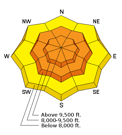
The avalanche danger is CONSIDERABLE today. Human triggered avalanches are likely on steep slopes and natural avalanches are possible especially as the snow starts to accumulate and get drifted later in the day.

Low
Moderate
Considerable
High
Extreme
Learn how to read the forecast here
Weather and Snow

We had an interesting turn in conditions on Sunday with temperatures getting very warm and rain up to 9000'. Before the rain, we did receive about 5" of snow early in the morning. Temperatures were in the mid 30s for most of last night. Southwest winds were and still are strong along the ridges and getting into the mid portions of the drainages somewhat. I'm not sure what to expect for surface conditions today but I can tell you it ain't our world class powder we all love. It could be a dense spongy surface or it could be punchy and inverted with frozen crusts..

Recent Avalanches

The rain falling on cold snow initiated a natural slab avalanche cycle in the low and mid elevations on Monday afternoon. It peaked around 3pm or so. The avalanches were on all aspects and were 7 to 10 inches deep.

Date Region Place Trigger Depth Width Aspect Elevation Weakness
01/8/2017 Skyline Fairview Canyon Natural 9" 125 North 7100 Density Change Details
01/8/2017 Skyline Fairview Road Banks Natural 9" 125 South 8400 Density Change Details
Ad
Additional Information

General Announcements

We will publish full detailed advisories Saturday and Sunday mornings by 7am. We will also be publishing basic avalanche danger ratings & info during the week.

If you are getting out into the mountains, we love to hear from you! You can SUBMIT OBSERVATIONS ONLINE or EMAIL US

If you would like to have avalanche advisories emailed to you, SIGN UP HERE

We can provide basic avalanche awareness presentations for your school, group or club. To enquire, CLICK HERE