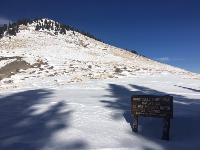
Forecast for the Abajo Area Mountains

Issued by Eric Trenbeath for
Saturday, December 31, 2016
Saturday, December 31, 2016
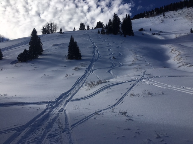
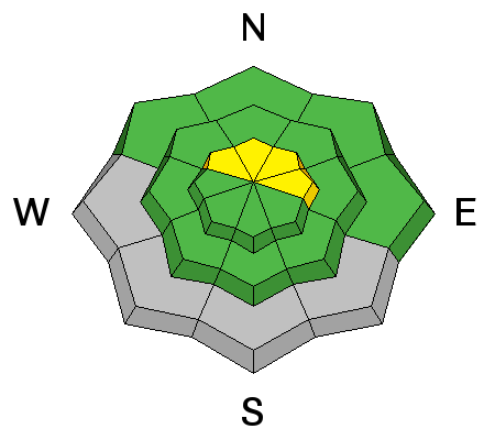
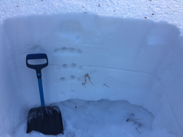
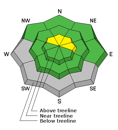
The avalanche danger is generally LOW in the Abajo/Blue Mountains but isolated areas exist where a person might be able to trigger an avalanche. Steep, wind drifted, upper elevation slopes that face NW-N-E still warrant caution. An increase in snow and wind could bump the danger up to MODERATE in these areas. Snow cover remains very thin, and taking a ride in an avalanche in such shallow snow conditions would be a very bumpy road across the ground.
Low
Moderate
Considerable
High
Extreme
Learn how to read the forecast here