Forecast for the Abajo Area Mountains

Eric Trenbeath
Issued by Eric Trenbeath for
Monday, December 12, 2016

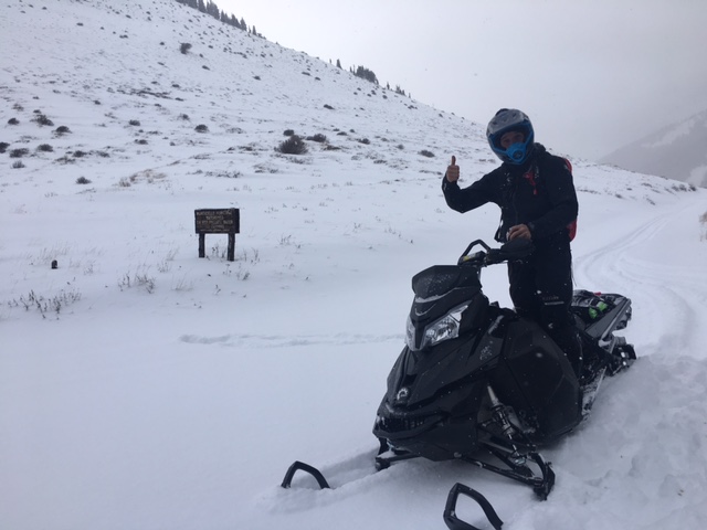
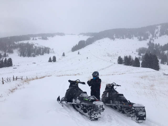
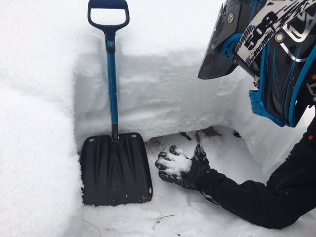
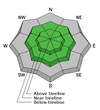
Due to low snow cover, the avalanche danger is generally LOW in the Abajo Mountains. Be alert to areas of wind drifted snow at upper elevations along leeward ridge crests and terrain features. The snow pack is very shallow and weak at this time, and future snow loads will cause the danger to increase.
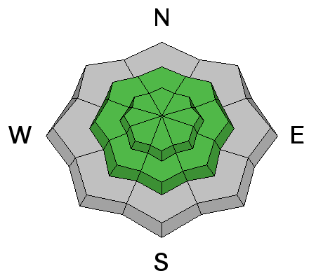
Low
Moderate
Considerable
High
Extreme
Learn how to read the forecast here
Weather and Snow

Snow cover in the Abajo Mountains is still quite thin and there isn't enough snow to recreate on beyond the road. There is only a few inches of snow on the ground at the trailheads and in the lower elevations.


Forest Service volunteer Chris Jacobson tops out at North Creek Pass. Pretty low snow up there.


On the backside near Robinson Pasture. Snow here was even thin on the road so we turned around.

Wind, temperature and humidity on Abajo Peak.

Snow totals at Camp Jackson.

Avalanche Problem #1
Normal Caution
Type
Location
Likelihood
Size
Description

There isn't currently enough snow to pose much of an avalanche danger, but be alert to wind drifted snow along leeward ridge crests and terrain features at upper elevations. Of note is the current snow pack structure. The weak shallow now is already deteriorating, and this doesn't bode well for future snow loads.


Chris Jacobson digs out weak, faceted grains, or "sugar snow" out from the bottom of the existing shallow snow pack. This makes an unstable base for future snow loads.

Additional Information

Today

Partly sunny, with a high near 32. South southwest wind 5 to 10 mph.

Tonight

Partly cloudy, with a low around 26. West wind 10 to 15 mph.

Tuesday

Partly sunny, with a high near 30. West wind around 15 mph, with gusts as high as 25 mph.

Tuesday Night

Mostly cloudy, with a low around 26. West wind around 15 mph, with gusts as high as 30 mph.

Wednesday

A 20 percent chance of snow after 11am. Partly sunny, with a high near 34. Breezy, with a west wind 15 to 20 mph, with gusts as high as 30 mph.

Wednesday Night

Mostly cloudy, with a low around 30. Breezy.

Thursday

A chance of rain and snow between 11am and 3pm, then a chance of snow after 3pm. Partly sunny, with a high near 39. Breezy. Chance of precipitation is 30%.

Thursday Night

Snow. Cloudy, with a low around 32. Breezy.

Friday

Snow. Cloudy, with a high near 32. Windy.