Forecast for the Salt Lake Area Mountains

Sunday morning, April 24, 2016
|
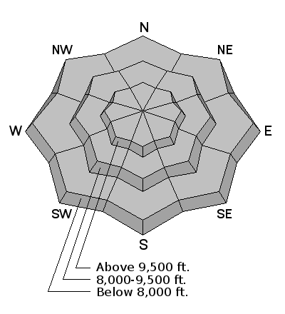
We customarily do not issue danger ratings at this point in the season, but rather provide snow and general avalanche information and weather forecasts. For Sunday, the primary avalanche concerns are fresh wind drifts from the sustained moderate to string winds from the southwest through northwest. If the the sun comes out for any period of time, loose, wet snow avalanches are likely on all aspects. Finally, deep wet slabs remain possible, particularly on steep upper elevation northerly aspects. Closed ski areas are no longer doing any control work, and travel should be treated no differently than skiing the backcountry. |

 Special Announcements
We will continue to issue intermittent advisories through the remainder of the month as conditions warrant.
We will continue to post observations as they are especially important to the backcountry community this time of year. We may also update conditions via social media or issue Warnings if needed through the national weather service. If you see anything you feel we should know about, please submit an observation.
 Weather and Snow
As of 7 am Sunday, the Cottonwoods have received about 1 foot of dense storm snow. Late yesterday afternoon the winds began to shift to the west/northwest, and have been blowing in the 20's mph, with gusts in the 40's. Temperatures are in the mid 20's F.
 Recent Avalanches
No activity reported, but there have no reports submitted from the backcountry over the past several days, and limited reporting from the few resorts that remain open.
We will continue to post observations - you can find the latest observations here.
Wind Drifted Snow

Description
The sustained moderate to strong winds have likely created sensitive wind drifts at the mid and upper elevations. Although these are likely to be found on north through southeast aspects, strong winds can often channel winds around terrain features, so it is likely you can find fresh drifts on any aspect today.
Wet Snow

Description
With partial clearing expected this afternoon, once the sun comes out the new snow will quickly become sensitive to any heating and loose wet slides are likely. Be sure to avoid any avalanche terrain once you see signs of rollerballs and pinwheels.
It is also worthwhile mentioning that the snowpack warmed significantly this past week with no overnight refreezes. Although temperatures have since cooled to below freezing, the storm snow has insulated the snowpack from cooling. Deep wet slabs are possible, particularly on upper elevation northerly aspects. Suspect terrain are areas with a thinner snowpack that is loose and unconsolidated. Today's dense storm snow may provide some support and allow you to get further on a slope. I don't think this issue is widespread, but triggering any deep wet slab is likely to be unmanageable.
Additional Information
Snow showers continue through this morning with a trace to few inches of snow possible; partial clearing expected this afternoon. Temperatures will rise into the upper 20's to mid 30's F. Another round of snow possible overnight, with a generally stormy pattern expected this week.
General Announcements
|
GENERAL ANNOUNCEMENTS
|


