Forecast for the Skyline Area Mountains

Brett Kobernik
Issued by Brett Kobernik for
Saturday, April 2, 2016

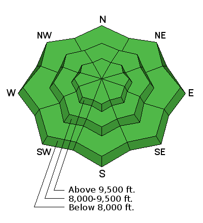
The majority of the terrain has a LOW avalanche danger today. Anticipate minor wind slabs that could release on the higher very steep northeast facing slopes. Watch out if the snow becomes really wet from daytime heating and avoid confined terrain at that time.
Low
Moderate
Considerable
High
Extreme
Learn how to read the forecast here
Weather and Snow

The large storm that slowly churned through Utah during the week brought around 2 feet of snow to the northern mountains as well as the southern mountains around Brianhead. However, the Skyline just wasn't positioned right for any serious snow and we only picked up 3 to 5 inches. You'll find smooth spring-like conditions out there this weekend. Temperatures were in the mid 20s overnight and the wind is very light from the west.

Recent Avalanches

There is some evidence of a little natural avalanche activity that occurred during the storm in the form of small shallow wind slabs that released along the higher northeast facing steep slopes. This really only amounted to very minor activity. Riders on Friday climbed a number of these slopes without anything releasing.

Ad
Avalanche Problem #1
Normal Caution
Type
Location
Likelihood
Size
Description

The snowpack is mostly stable right now. Keep in mind that you might find a small wind drift that might release along the higher northeast facing very steep slopes. Cornices are quite large and often break back farther than you expect so give them due respect. Daytime heating today may produce some minor wet snow avalanche activity so be careful if you end up in confined terrain such as a gully where even a small wet slide can funnel and pile up fairly deep.

Additional Information

We'll have clear skies and ridgetop temperatures up into the mid 40s today. Southwest wind should stay pretty light for the most part. Sunday looks like another very nice spring day. We're in a warming trend over the next few days with slightly warmer temperatures each day. A storm looks like it will clip northern Utah and might bring some minor amounts of snow early Tuesday morning. Weather models are hinting at a slightly more promising storm around next weekend.

General Announcements

We will publish full detailed advisories Saturday and Sunday mornings by 7am. We will also be publishing basic avalanche danger ratings & info during the week.

If you are getting out into the mountains, we love to hear from you! You can SUBMIT OBSERVATIONS ONLINE or EMAIL US

If you would like to have avalanche advisories emailed to you, SIGN UP HERE

We can provide basic avalanche awareness presentations for your school, group or club. To enquire, CLICK HERE