


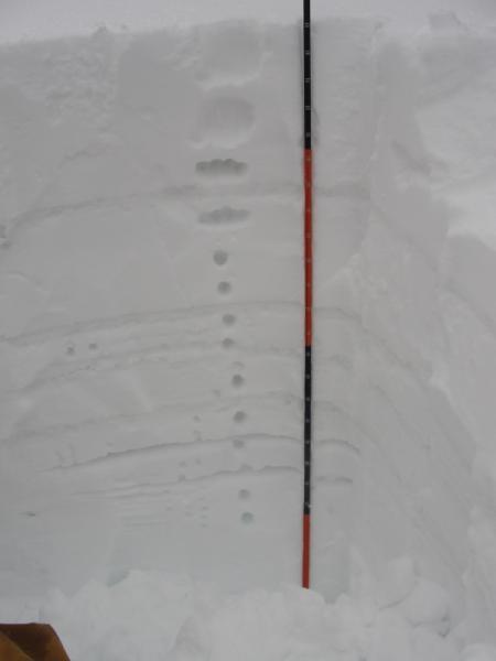
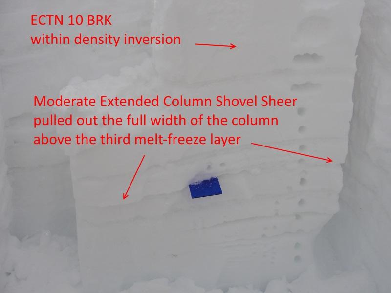
After skiing a few upside down lines on the Park City Ridgeline I double-dipped and headed to Upper Setting in the early afternoon. The road is on/off melted out the first mile. It was snowing lightly when I left but as the afternoon progressed the snow turned moderate to heavy. I headed up to a test slope between Castle Peak and Duke which I am usually able to get to slide when there is enough new snow. After unsuccessful attempts to get 3 different small but typically wind loaded steep SW and NE slopes to fail I skied down the NE slope few hundred yards and dug. The density inversion layer found within the new snow was the only layer that failed but it did not propagate. I did, however; discover two thin facet layers within the top 100 cm of snow which may be a concern given enough new snow to break the 4 melt-freeze/ice layers above.