Forecast for the Moab Area Mountains

Issued by Eric Trenbeath for
Sunday, March 27, 2016
Sunday, March 27, 2016
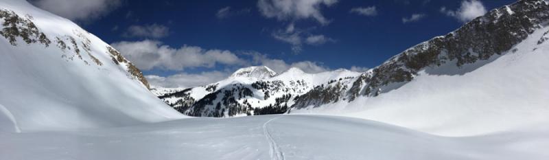
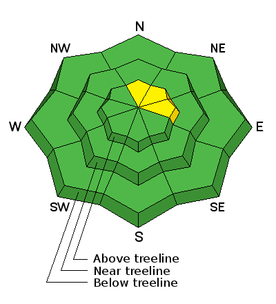
The avalanche danger is generally LOW but unstable snow may exist on isolated terrain features. Maintain awareness of possible instabilities, particularly in areas of steep, rocky, and radical terrain on upper elevation slopes that face N-NE-E.
With daytime heating, the potential also exists for shallow, loose wet slides. Watch for signs of instability such as rollerballs, pinwheels, or sloppy wet snow and stay off of, and out from under steep slopes if these signs are present.
Low
Moderate
Considerable
High
Extreme
Learn how to read the forecast here