Observation: Park City Ridgeline

Observation Date
3/23/2016
Observer Name
Willis Richardson
Region
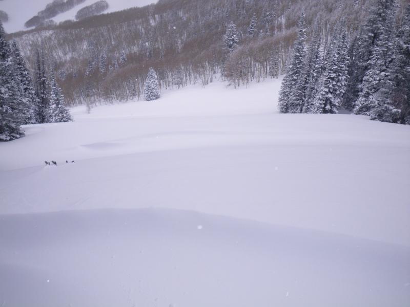
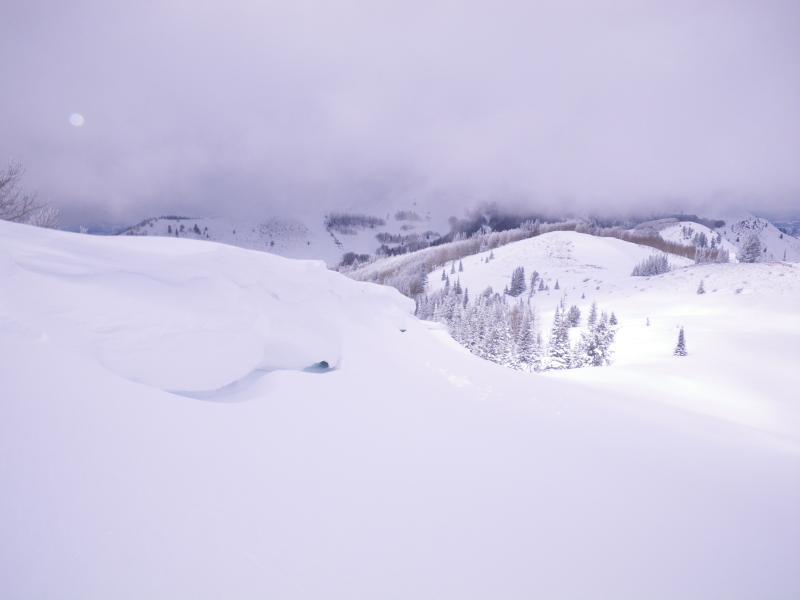
Salt Lake » Park City Ridgeline
Location Name or Route
Park City Ridge Line to Roscoes
Weather
Sky
Overcast
Wind Direction
Northwest
Wind Speed
Strong
Weather Comments
Continued wind with low clouds moving fast across the area.
Snow Characteristics
New Snow Depth
12'
Snow Surface Conditions
Powder
Damp
Snow Characteristics Comments
The snow was dense with a ice layer a foot beneath the surface. It was like skiing in mousse. The appeared damp but there was a lot of scoured areas depending on the wind direction which appeared to come from all directions over the last several days. There many snow banks in all areas, open as well as within the trees. They also had a consistent hollow areas within the snow bank.
Red Flags
Red Flags
Heavy Snowfall
Cracking
Collapsing
Red Flags Comments
Along the ridge lines there was large cornices with large deposits of snow on the leeward side. What was unique there was a hollow wall about a foot in width and 149 centimeters in depth under the cornice. These snowbanks were 6 to 8 feet in height down the slope.
Avalanche Problem #1
Problem
New Snow
Trend
Decreasing Danger
Problem #1 Comments
Wet with top layer of soft slab and inconsistent snow depths across the area. Some sliding of the new snow on steeper slopes. Danger will decrease with warming.
Snow Profile
Aspect
East
Elevation
9,000'
Slope Angle
25°
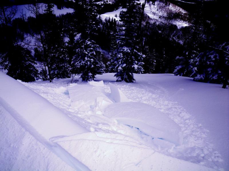
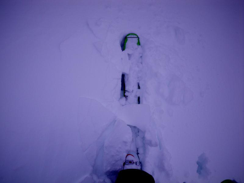
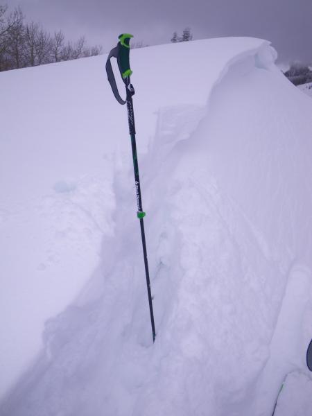
Today's Observed Danger Rating
Considerable
Tomorrows Estimated Danger Rating
Considerable
Coordinates