

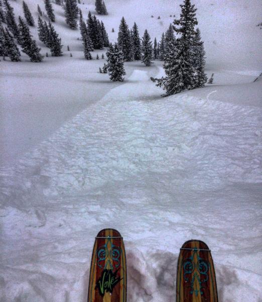
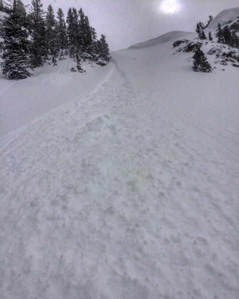
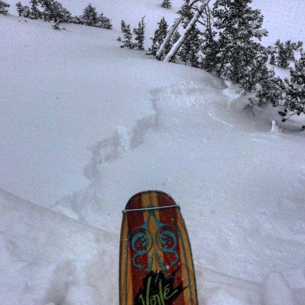
Travel today was from the Alta Guard to Cardiff Bowl SE facing, East Hellgate SE facing, then up over Cardiff Peak with entry into Cardiff Fork through the Key Hole N facing, Cardiac Ridge, Ivory Flakes with the exit out BCC. Skied a couple runs on SE facing to start the day, snow was well bonded on everything except the steepest terrain, did experience some sluffing in Cardiff Bowl but it didn't seem to want to run on the old frozen surface it mostly stayed in the new snow. Did not really come across any wind affected snow on the S facing, no wind slabs no slides. Once I moved on to the N end of the compass I was also getting some long running sluffs in steep terrain with cornice drops but these for the most part were running in the new snow also. On my entry run into Cardiff Fork through the Key Hole, N facing 37 degree slope I did manage to pull out a soft slab that ran on the old snow surface but the new snow was so light that it did not pack much of a punch and quit moving as soon as it hit lower angle terrain. I did speak with a couple guys that got a soft slab to release on top of Cardiac Ridge but it also stopped once it hit lower angle terrain. I've been out of town for 10 days so I decided to take a look at the weak layers that Mark and Ev saw the other day in Cardiff, they did not seem very reactive and in my opinion would need a much larger load than a foot of light density snow to become reactive, a large wind load or a lot more snow might do it.
Photos: sluffing on the N facing and the soft slab I released in the Key Hole, sorry about the photo quality broke my camera in Canada and had to use the phone.
Things seemed fairly stable today, there are places on the high wind exposed ridge lines were you could trigger a wind slab but I would think they will settle out with time. If we get allot of wind transport or a lot more snow things may become suspect but if not moderate seems like the call.