There are a couple of potential weak layers near the surface. None look to be particularly long lasting but could make avalanches break over wider areas and maybe be triggered remotely if we get a big load.
(1) There is a crust near the surface with relatively low density snow under it. This snow has faceted just a little bit.
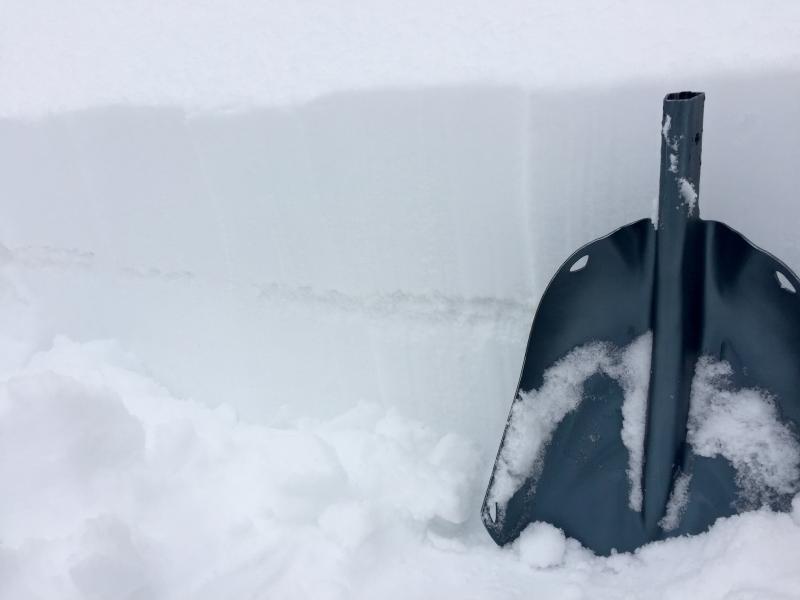
(2) Also, there is a graupel layer buried about 4-6 inches deep. It does not propagate in ECT's but shears pretty cleanly when you pull on it with your hands or shovel. The main thing is that this layer hasn't gotten as strong as I would have anticipated and remains loose. This tells me something has happened to it (maybe some faceting) that will allow it to be potential weak layer. See photo below of the obvious graupel layer.
(3) Luckily, this weak layering has limited distribution - upper elevation slopes facing NE, N to NW, but most prominent on north facing slopes. Most other aspects and elevations have strong old snow, and on those slopes we should be dealing with new snow only issues with the up coming storm.